
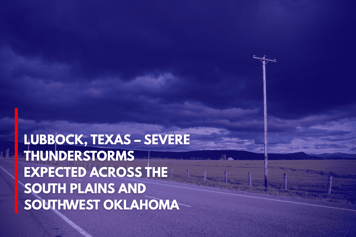
Lubbock, Texas – Strong to severe thunderstorms are expected to move across the Texas South Plains and southwest Oklahoma on Tuesday evening, bringing significant weather hazards including hail up to 2 inches in diameter and wind gusts reaching 70 mph.
A Severe Thunderstorm Watch has been issued until 11 p.m. CDT for areas including Lubbock, Plainview, Childress, and Altus.
Storm Development and Impact
The storms are forecast to develop along a zone stretching 45 miles north and south of a line from west of Lubbock to northeast of Altus.
High-based storms combined with dry air near the surface are increasing the likelihood of strong outflow winds, which have the potential to knock down trees, power lines, and damage roofs. The early stages of the storms could also produce isolated large hail, especially near Lubbock and Plainview.
Safety Measures and Preparedness
Residents in the affected areas should be prepared for rapidly changing weather conditions. It is important to secure loose outdoor objects that could be blown around by strong winds.
Drivers should also avoid traveling through heavy downpours as visibility will be reduced and road conditions may become hazardous. Stay alert to weather updates, as additional warnings may be issued depending on the storm’s development.
Power outages and brief travel disruptions are possible in the hardest-hit areas. While the storms are expected to decrease in intensity by late evening, monitoring local weather reports and being prepared for sudden changes remains crucial throughout the night.