
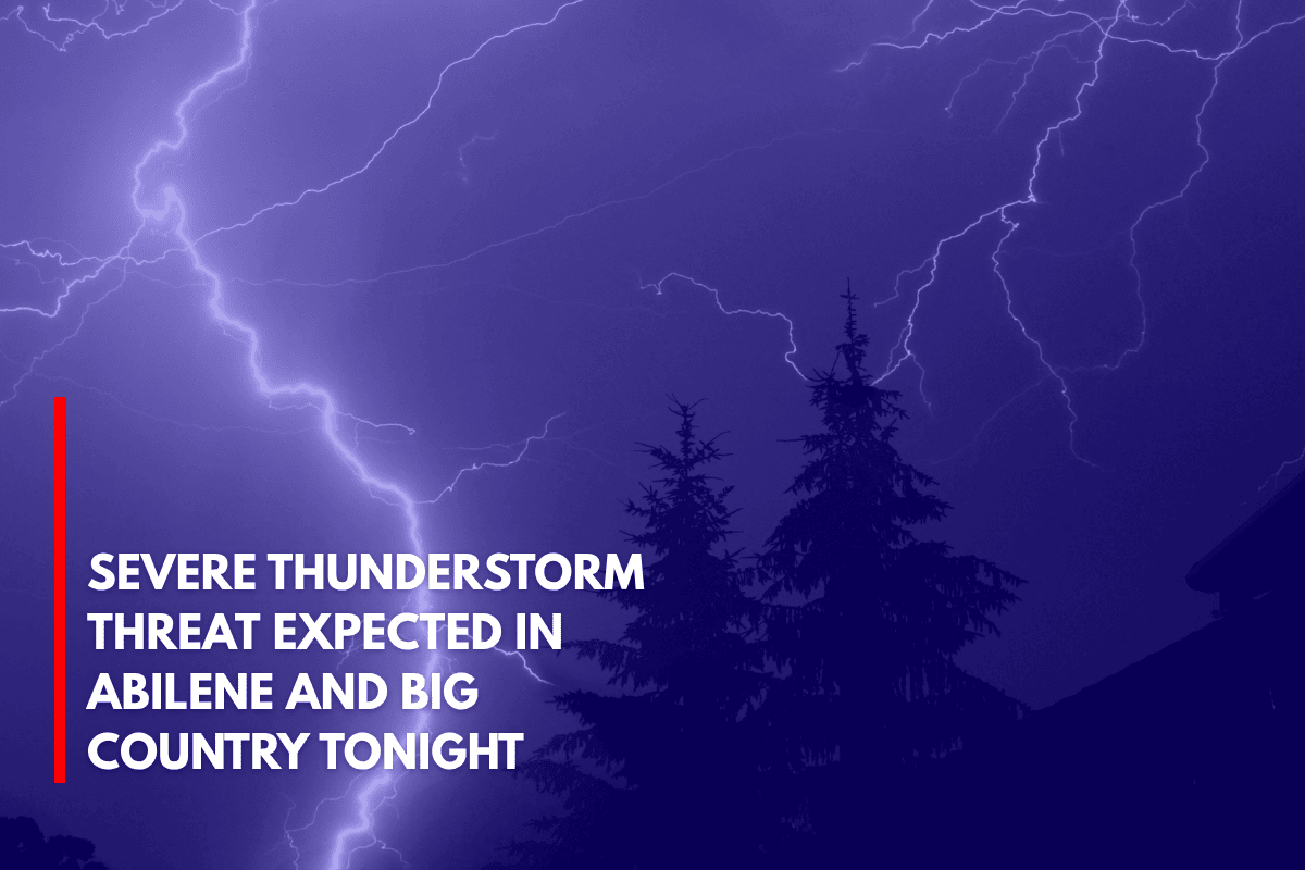
Abilene, Texas – Residents across the Big Country should be prepared for severe thunderstorms tonight, with storms likely to occur between 6 p.m. and 1 a.m. bringing quarter-sized hail and wind gusts reaching up to 60 mph.
Storm Development and Timing
According to the National Weather Service in San Angelo, isolated to scattered storms are expected to move into the area Wednesday evening and continue into early Thursday.
The overall risk for severe weather is considered marginal (level 1 of 5), but individual storm cells could intensify quickly. The strongest storms are likely to impact cities such as Abilene, Sweetwater, San Angelo, and Ballinger, especially in areas along and south of I-20.
Potential Hazards
While the storms are expected to be brief, they could still produce damaging wind bursts and hail up to an inch in diameter. Lightning is also a significant concern with any stronger storms.
Residents are urged to secure outdoor items, avoid unnecessary evening travel, and ensure they have multiple ways to receive weather alerts, particularly if they plan to be out during the high-impact window.
Early Summer Storm Season in West Texas
This marks one of several early summer storm events in West Texas, following similar isolated threats in late May. More updates are expected as storm development continues to be monitored through Wednesday evening.
Stay Weather-Aware
The severe weather risk remains in place through 1 a.m. Thursday, so it’s important to stay weather-aware and watch for new alerts.