
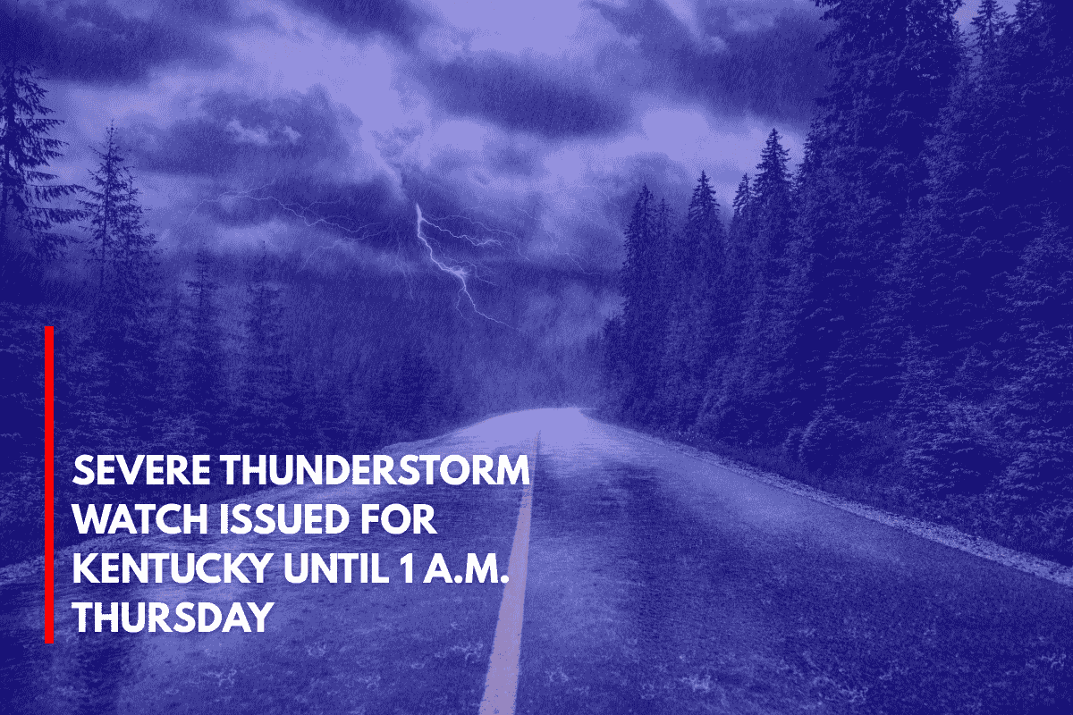
A severe thunderstorm watch is currently in effect for much of Kentucky, lasting until 1 A.M. Thursday. This watch warns of damaging winds, large hail, and intense lightning, which are threatening nearly 60 counties across the state. The National Weather Service Storm Prediction Center issued the watch at 7:45 P.M. EDT Wednesday.
Areas Affected
The watch includes central, eastern, and southern Kentucky, with cities like Lexington, Bowling Green, and Ashland at higher risk.
Wind gusts could exceed 60 mph, and hail up to one inch in diameter is also a concern. Areas such as Lexington, Richmond, and Somerset are at an elevated risk as fast-moving storm lines approach from the west.
Weather Impact
Severe weather could cause significant disruptions in places like Fayette, Warren, and Pulaski counties. Major highways such as KY-80, I-64, and I-75 could experience rapid weather changes overnight, making travel hazardous.
Power outages, downed trees, and blocked roads due to fallen limbs are possible, especially in rural areas where it may take longer for crews to clear roads.
Safety Measures
Residents are advised to stay indoors during the storm to ensure their safety. It is important to secure outdoor items to prevent them from being damaged by the high winds. Keeping phones charged is also essential in case of power outages.
Travelers are urged to avoid driving where possible, particularly in rural areas where fallen limbs could block the roads, making travel difficult.
Storm Timeline
Storm activity is expected to taper off by early Thursday morning, but there is a possibility that additional watches or warnings could be issued if the storm cells redevelop or intensify overnight. It is important to remain alert and stay updated on local weather conditions.