
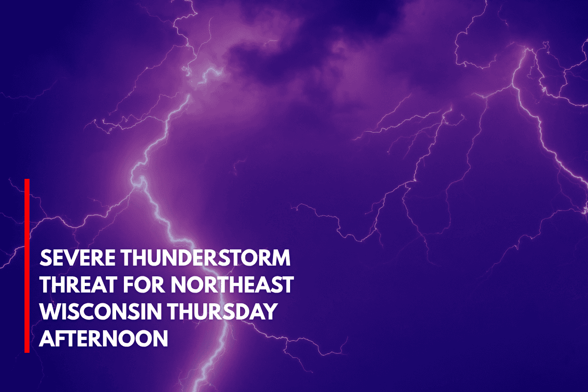
Green Bay, Wisconsin – Isolated to scattered thunderstorms are expected to move through northeast Wisconsin starting Thursday afternoon, with the potential for damaging winds and quarter-sized hail. Residents should be prepared for possible impacts starting by 3 p.m. Thursday.
The National Weather Service Green Bay reports that severe storms are most likely between 3 p.m. and 10 p.m. Thursday. The primary threats include gusts up to 60 mph, 1-inch hail, and torrential rain. The highest confidence for severe storms remains in isolated to scattered areas across the region.
Impact on Travel and Outdoor Activities
The storm system is expected to disrupt travel and outdoor activities in the affected areas. Stronger storms may also extend across northern Wisconsin through Saturday morning, increasing the risks of large hail, damaging winds, and possibly a few tornadoes.
However, the exact timing and track of this system remain uncertain, and updates are expected as the storm evolves.
Safety Precautions
Residents should stay alert and closely monitor local weather alerts. It’s important to charge electronic devices and ensure you have multiple ways to receive warnings. Secure outdoor objects that could be damaged by strong winds, such as furniture or trash cans, to reduce the risk of damage.
Storm Updates
Advisories for potential severe weather will remain in effect, with more updates expected as the system develops through Friday. Stay tuned to local weather reports for the latest information and guidance on how to stay safe during the storm.