
Washington, D.C. – Friday’s commute in the D.C. metro area could be hazardous, as intense afternoon thunderstorms are expected to bring flash flooding across major corridors like Route 50 and I-495.
Flood Watch in Effect
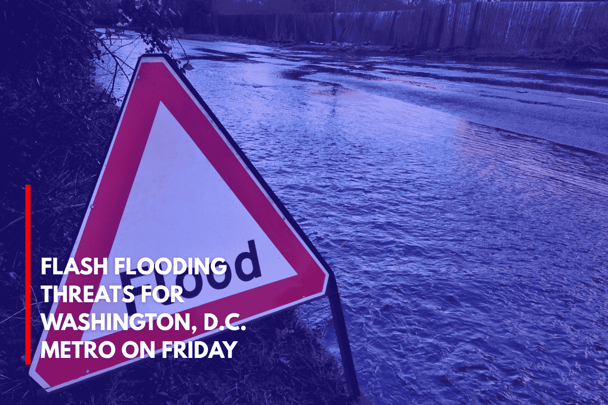
The National Weather Service has issued a Flood Watch for Washington, D.C., much of Maryland, including Prince George’s, Anne Arundel, and Montgomery counties, and parts of Northern Virginia, including Arlington, Fairfax, and Alexandria. This watch remains in effect until 9 p.m. Friday.
Excessive rainfall rates of up to 1 inch per hour, with localized totals reaching 2 to 3 inches, could lead to flooding in areas with poor drainage, creeks, and underpasses.
Expected Storm Conditions
As the afternoon progresses, showers and storms are expected to intensify. Wind gusts could reach 25 mph, and there’s a possibility of lightning. Although winds will shift northwest overnight, providing some relief, saturated ground may continue to cause flooding issues into the night.
Travel Advisory
Drivers are urged to avoid flooded roadways and stay updated with local alerts. If you encounter a flooded area, the National Weather Service recommends following the rule: “Turn Around, Don’t Drown.” It’s also advised to limit travel and check drains around homes to prevent backups.
Weekend Outlook
Looking ahead, the stormy conditions will clear by Friday night, giving way to a warm and dry weekend. Saturday will be partly cloudy, reaching a high of 93°F, while Sunday will be hot and sunny, with temperatures nearing 98°F—the warmest day in the five-day outlook.
Five-Day Forecast (Washington, D.C. Metro)
Thursday: High of 93°F, severe thunderstorms after 5 p.m.
Thursday Night: Low of 64°F, severe storms taper off before midnight.
Friday: Sunny, high near 87°F, breezy west winds.
Saturday: Partly cloudy, high near 93°F.
Sunday: Mostly sunny and hot, high near 98°F.
Monday: Mostly sunny, high near 99°F.
Stay weather-aware: The Flood Watch remains active until 9 p.m. Friday, and more advisories may follow.