
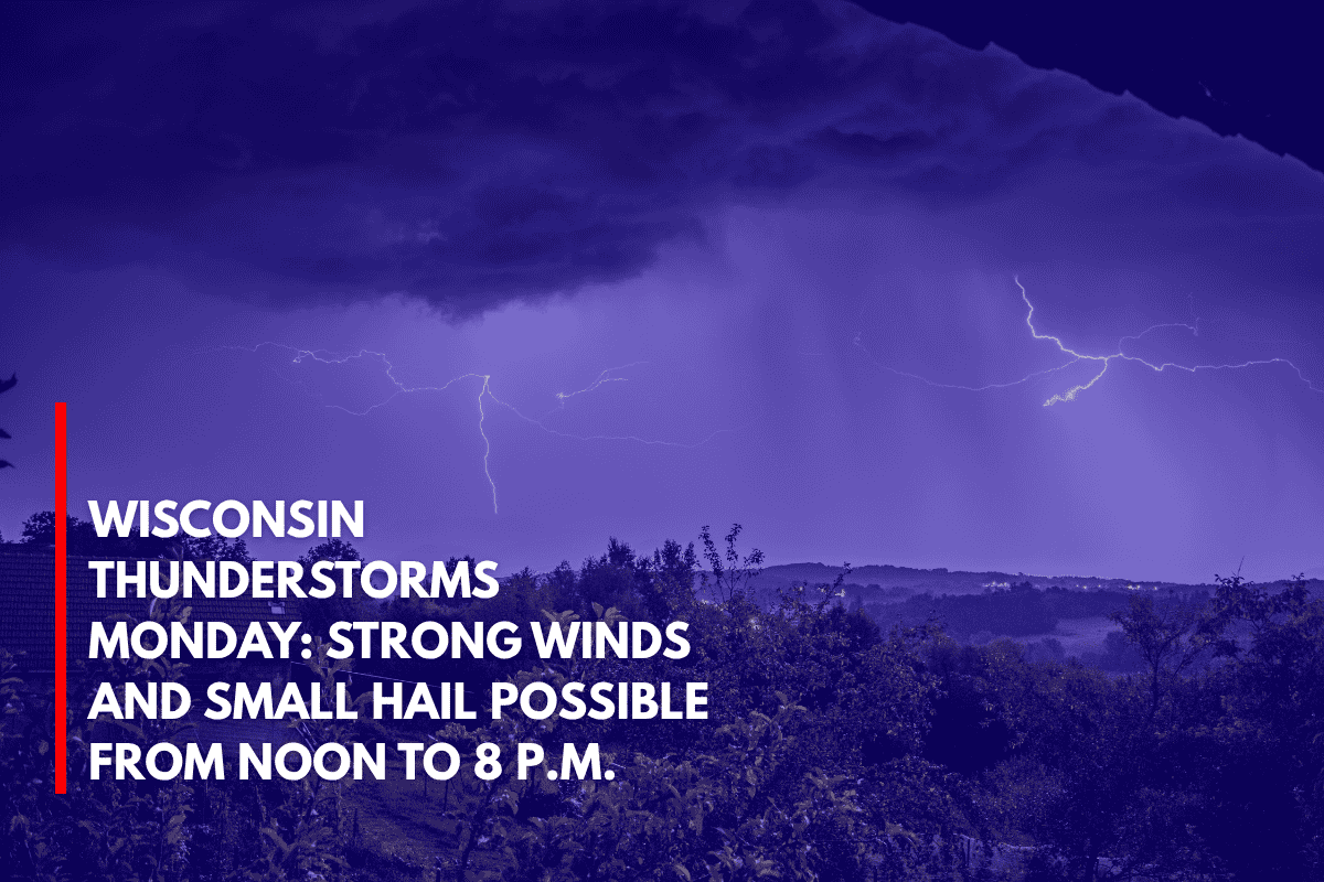
Green Bay, Wis. – On Monday, a line of thunderstorms will move across much of Wisconsin, bringing with them strong winds and the potential for small hail. The storm system is expected to track west to east between noon and 8 p.m., with central and northeast Wisconsin seeing the highest risks.
Storm Details and Risks
The National Weather Service (NWS) in Green Bay has issued warnings for damaging wind gusts and pockets of hail. Winds could reach speeds of up to 60 mph, which could create hazards for travel and outdoor activities. Small hail, up to 1 inch in diameter, is also possible in some areas.
Areas Most Affected
The greatest risk will be in central and northeast Wisconsin, where isolated to scattered severe storms are expected to develop. Cities like Eau Claire, Wausau, and Green Bay will experience the storms first, with impacts reaching Madison, Oshkosh, and Sheboygan by the late afternoon. Travel along major highways, including I-39, I-41, and U.S. 151, may be disrupted during this time.
Power Outages and Flooding Potential
Along with the strong winds and hail, the storms may cause power outages, downed branches, and localized flooding, especially in low-lying or urban areas. It’s recommended to keep phones charged and have a weather radio on hand in case any warnings are issued.
Tornadoes Not Expected
While tornadoes are not anticipated with this system, NWS meteorologists caution residents to remain alert and stay informed throughout the day. Knowing where to take shelter at home or work is essential to staying safe during severe weather.
Storms Clear by 8 p.m.
The storms should clear Wisconsin by 8 p.m., but further advisories may be issued as storm strength is reassessed. Residents are advised to keep an eye on updates and follow local forecasts for the latest information.