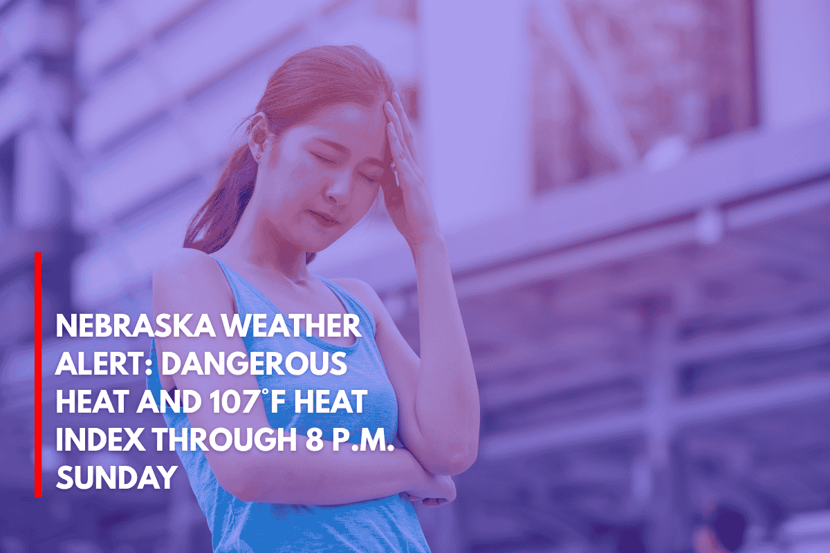
Omaha, Nebraska – A scorching Sunday is expected across eastern Nebraska, with the heat index reaching up to 107°F. This intense heat, combined with strong wind gusts and the rising threat of severe storms and flooding, will create hazardous conditions through Sunday evening and into next week.
Heat Advisory and Dangerous Conditions
The National Weather Service (NWS) Omaha/Valley has issued a Heat Advisory from 10 a.m. to 8 p.m. Sunday. Actual air temperatures are expected to range from 95°F to 102°F, with strong south winds of 35 to 45 mph.
These conditions will significantly worsen the impact of the heat, particularly for outdoor workers and those without access to air conditioning. The heat risk is classified as major to extreme for areas including Omaha, Lincoln, and Norfolk.
Rising Threat of Severe Weather
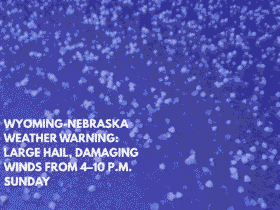
As a cold front moves in late Sunday, the chances of thunderstorms will increase, with severe weather expected through Tuesday. Large hail and damaging winds are the primary concerns, particularly in northeast and central Nebraska on Monday and Tuesday.
Flooding Risk and Flash Flooding Concerns
By Monday, attention will shift to flooding risks, with the Weather Prediction Center outlining an elevated flood risk for areas like Columbus, Fremont, and Grand Island.
These areas may receive several inches of rain due to repeated rounds of thunderstorms through Wednesday. Flash flooding remains a serious concern, especially along roads and in low-lying areas.
Safety Tips and Precautions
Residents are urged to stay hydrated, avoid peak afternoon sun, and prepare for flash flooding. Make sure to secure outdoor items and avoid traveling on flooded roads. With warnings in effect through midweek, it’s important to stay informed as conditions evolve and additional advisories may be issued.
Stay safe and take necessary precautions to protect yourself from the extreme heat and potential severe weather this week.




Leave a Reply