
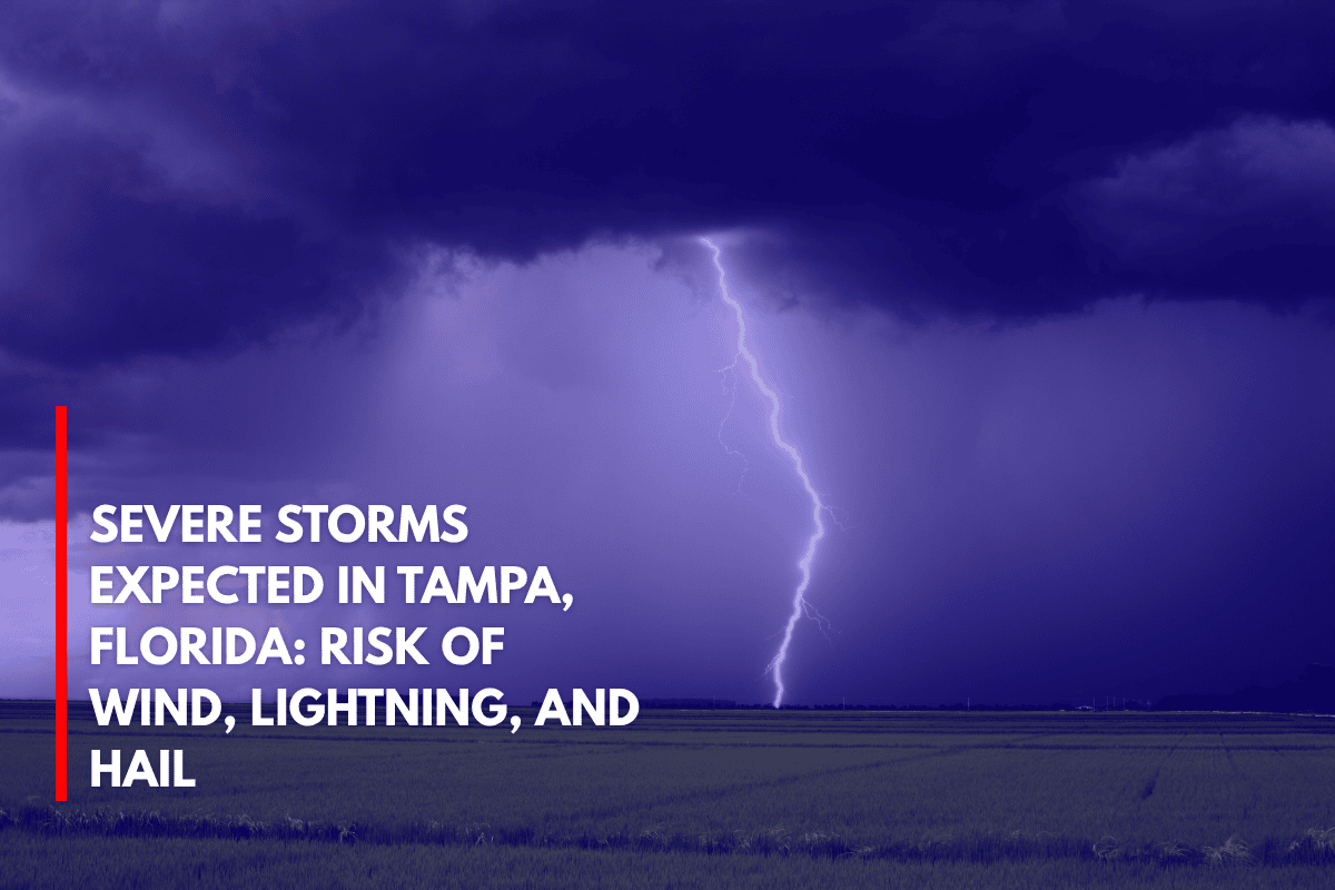
Tampa, Florida – Severe storms are expected to move across west-central and southwest Florida late Wednesday afternoon, bringing gusty winds, dangerous lightning, and the potential for hail up to 1 inch in diameter.
The National Weather Service in Tampa Bay has issued a Marginal Risk (Level 1 of 5) for severe thunderstorms from 3 p.m. to 10 p.m. Wednesday. The storm threat will impact areas ranging from Brooksville to Naples. The main hazards include damaging wind gusts over 40 mph, frequent lightning, and isolated hail events.
Cities at Risk
Cities including Tampa, St. Petersburg, Sarasota, Fort Myers, and Cape Coral could experience rapid-moving storms during the evening commute, with the potential for tree limb damage and power outages.
Motorists should avoid flooded streets and be prepared for sudden downbursts. If you have outdoor plans, it’s advised to move them indoors by mid-afternoon, especially in coastal and inland storm-prone areas such as I-75 and U.S. 41.
Storm Details and Warnings
While the storms are not expected to be widespread, they could intensify quickly, leading to local warnings. This storm system is typical for Florida’s summer weather but comes with the added risk of severe wind damage and hail larger than quarters.
The storm threat is expected to diminish after 10 p.m., though scattered storms could continue into the later part of the week.