
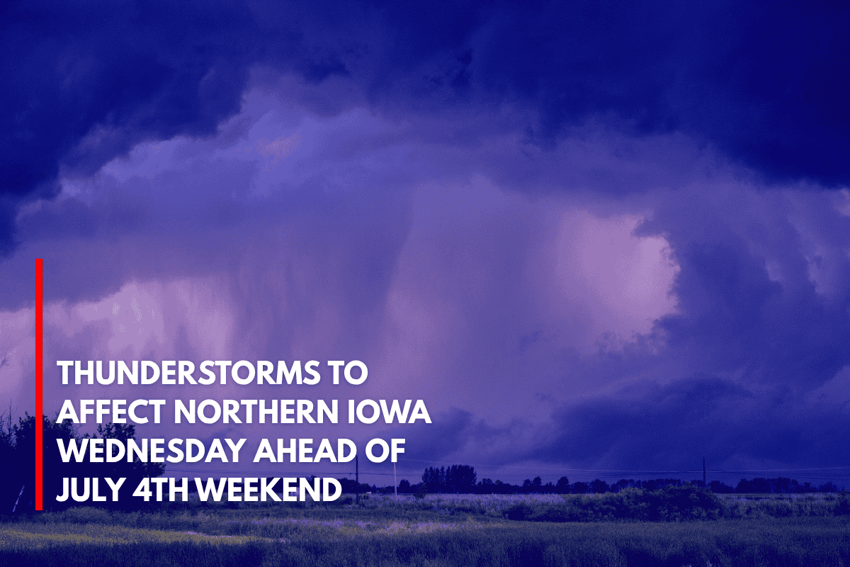
Des Moines, Iowa – Strong thunderstorms could disrupt parts of northern Iowa on Wednesday afternoon, bringing hail, gusty winds, and heavy rain, just days before the July 4th holiday weekend.
What to Expect on Wednesday
According to the National Weather Service (NWS) in Des Moines, early morning showers or weak storms may pass through northwest Iowa on Wednesday. However, the main threat arrives later in the day. From Wednesday afternoon through early Thursday, isolated strong to severe storms are expected across the northern half of the state.
Cities such as Mason City, Fort Dodge, and Decorah could experience locally heavy rainfall and brief damaging wind gusts between 2 and 8 p.m. Wednesday. Hail is also possible in the stronger storms. While widespread severe weather is not expected, the NWS is urging residents to stay weather-aware, especially if they have outdoor plans.
Looking Ahead to the Weekend
As the July 4th holiday approaches, additional rounds of storms are possible Friday through the weekend, potentially affecting July 4th travel and celebrations. High temperatures across the state will remain in the mid-80s to low 90s, providing warm weather for outdoor activities, though the storms could cause delays or disruptions.
Residents are encouraged to keep an eye on the forecast as storm timing and intensity may shift, and to check weather alerts frequently in case of changes. Backup plans for outdoor activities are recommended, especially for those planning holiday celebrations or travel.