
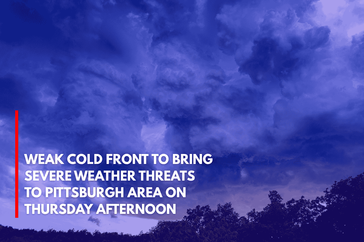
Pittsburgh, PA – A weak cold front moving into western Pennsylvania Thursday afternoon could bring damaging winds and large hail to areas east of Pittsburgh between 2 and 7 p.m., according to the National Weather Service in Pittsburgh.
What to Expect
While the storms are expected to be isolated to scattered, there is a marginal Level 1 severe risk in place for the afternoon. This means that while most areas will avoid widespread severe weather, stronger cells could develop with enough intensity to produce damaging winds and large hail. Fortunately, flash flooding is not anticipated due to limited moisture.
Affected Areas
Cities like Greensburg, Indiana, and Johnstown should stay weather-aware, especially during the afternoon commute. Areas such as open fields or regions near hills could experience accelerated winds, increasing the severity of the storms. Although the threat is limited, residents should remain vigilant as isolated storms can quickly turn severe.
Safety Tips for Thursday Afternoon
Secure outdoor items that could be blown around by strong winds.
Monitor live radar updates to track storm movements and intensity.
Seek shelter indoors if you see lightning or hail in your area.
Drive with caution, as slick road conditions or reduced visibility may occur during heavier downpours.
Timing and Future Updates
The alert remains in effect until 7 p.m. on Thursday, with improving conditions expected into the evening. Authorities will issue additional updates if the severe weather risk increases throughout the day.