
Spokane, Wash. – Fire danger is expected to significantly increase across eastern and central Washington starting Tuesday afternoon due to a dangerous combination of hot temperatures, strong winds, and low humidity.
Fire Weather Watch Issued
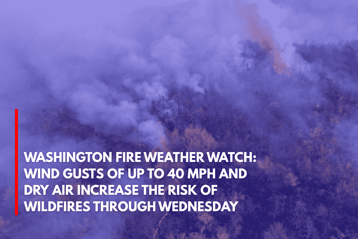
The National Weather Service in Spokane has issued a Fire Weather Watch from 1 p.m. Tuesday through 8 p.m. Wednesday for areas including the Okanogan Valley, Waterville Plateau, and regions stretching from the Palouse to the Snake River.
Wind gusts could reach up to 40 mph on Wednesday, combined with humidity levels dropping as low as 8% by Tuesday afternoon.
Communities at Risk
Several communities are at elevated fire risk, including:
Spokane
Pullman
Moses Lake
Wenatchee
Omak
On Tuesday, west winds will range from 15 to 25 mph, with gusts up to 30 mph in areas like the Cascades’ foothills and Waterville Plateau. By Wednesday, a dry cold front will push winds even higher, with sustained speeds of 20 to 30 mph and stronger gusts across the region.
Fire Safety Reminders
Fire officials are urging residents to exercise extreme caution:
Avoid outdoor burning to prevent sparks.
Secure trailer chains to avoid dragging and creating sparks.
Delay yard work that involves machinery or equipment that could produce sparks until conditions improve.
What to Expect
If conditions worsen, the Fire Weather Watch may be upgraded to a Red Flag Warning, which would indicate a more imminent fire threat. Residents are advised to stay informed through local weather updates through Wednesday evening.
The combination of dry conditions, strong winds, and hot temperatures means that even a small spark could lead to a rapidly spreading fire, particularly in areas with cured grass and ongoing drought conditions. Stay safe and prepared.