
Indiana is set for a big weather shift this week, with freezing temperatures turning into near-summer warmth—but that warmer air will bring thunderstorms and heavy rain by the weekend. If you live in Indianapolis, Bloomington, Muncie, or Lafayette, now’s the time to get ready for changing weather and possibly stormy conditions starting Friday night.
Frosty Nights to Warm Days
According to the National Weather Service in Indianapolis, overnight temperatures from Tuesday into Wednesday morning will fall into the low to mid-30s. That means patchy frost is possible across central Indiana, especially in rural and low-lying areas. Gardeners should take steps to protect sensitive plants.
By Thursday, the chill will be gone. Highs will climb into the mid-60s, and by Friday afternoon, much of the state could see upper 70s to low 80s. This sudden warm-up is typical for spring but also sets the stage for unsettled weather.
Storms Arrive Friday Night
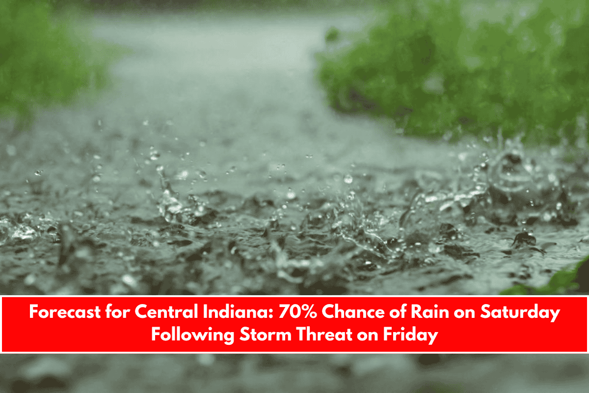
While the warmer weather may feel welcome, it comes with a cost. There’s a 70% chance of thunderstorms Friday night, with rain likely to continue into Saturday (70%) and Sunday (60%). These storms could bring gusty winds, brief downpours, and possible lightning—especially in areas like Bloomington, Muncie, and Lafayette.
This will be Indiana’s first major storm event since early spring, and it may cause over an inch of rain in some areas. If you’ve got weekend outdoor plans, keep a close eye on the weather and consider backup options.
What to Watch For
Storms may roll in late Friday and last through the weekend. Here’s what to be prepared for:
- Strong winds could knock over outdoor furniture or decorations.
- Heavy rainfall may lead to ponding on roads or minor flooding in poorly drained areas.
- Travel plans and outdoor events could be affected.
Make sure to secure loose outdoor items and check your local weather alerts throughout the weekend. Storm tracks can shift, and updated forecasts may bring new warnings or changes in timing.