
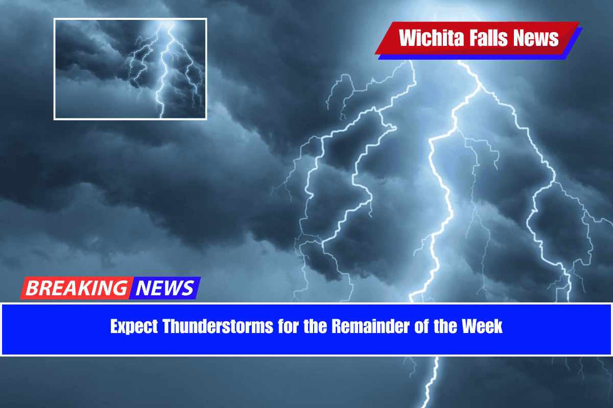
Texoma residents should get ready for several rounds of nighttime thunderstorms this week, starting Tuesday night and continuing into the weekend. While rain chances during the day are expected to stay low, the nights could be stormy, especially between now and Friday.
Tuesday Night: Storms Moving In After 11 PM
Storms forming over West Texas and the Panhandle are expected to move east into Texoma late Tuesday night, most likely after 11 p.m. These storms may bring:
- Heavy rain
- Strong, gusty winds
- Possible localized flooding
The thunderstorms are expected to continue into early Wednesday morning, possibly affecting the morning commute with wet roads and low visibility.
Midweek Outlook: Spotty Showers and Night Storms
From Wednesday through Friday, the pattern continues with scattered, hit-and-miss showers during the day and another round of storms expected at night.
It may not rain everywhere each night, but the areas that do see storms could experience intense rainfall, thunder, and strong winds.
This cycle is expected to repeat through the end of the workweek, so it’s a good idea to keep umbrellas and raincoats handy, especially if you’re out late or early in the morning.
Weekend Weather: Lower Rain Chance, But Higher Risk
While the overall chance of rain goes down over the weekend, forecasters are watching a slight increase in the risk of severe weather. This could mean stronger storms if they do form—possibly including:
- Damaging winds
- Hail
- Isolated tornadoes (not confirmed yet, but being monitored)
Stay alert to weather updates over the next few days, especially if you have weekend plans outdoors.
Stay Weather-Ready
Make sure your weather alerts are turned on, especially at night when storms might arrive while you’re sleeping. It’s also wise to secure outdoor furniture, park in covered areas if possible, and check local forecasts daily for any changes.