
Denver, CO – A powerful winter storm is heading toward Colorado’s high country, prompting the National Weather Service (NWS) in Denver to issue a Winter Storm Watch for mountain areas starting Thursday evening through late Friday night.
The storm is expected to bring heavy snowfall, strong wind gusts, and dangerous travel conditions—particularly in regions above 9,000 feet elevation.
If you’re planning to travel through the mountains or live in the affected areas, here’s what you need to know.
Where and When Will the Storm Hit?
The snowstorm is expected to begin on Thursday evening, April 18, and continue into the early hours of Saturday, April 20. Key areas likely to be impacted include:
- Rabbit Ears Pass
- Berthoud Pass
- Rocky Mountain National Park
- Summit County
- The Indian Peaks Wilderness
- Mosquito Range
- Gore Range
In these higher elevations, snowfall totals could range from 7 to 16 inches, with wind gusts up to 45 mph reducing visibility and making travel especially dangerous.
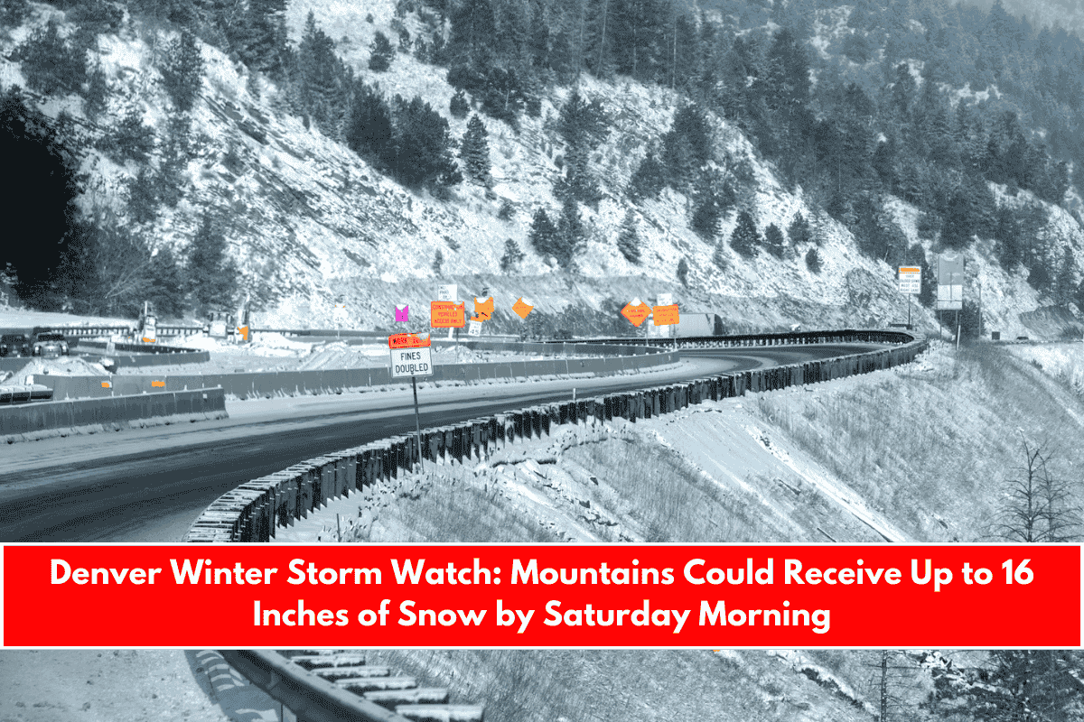
Travel Impacts Across I-70 and Ski Communities
One of the most concerning impacts of this storm will be on Interstate 70, a key route through Colorado’s mountains. Areas near the Eisenhower Tunnel, as well as popular ski towns like Breckenridge and Winter Park, are expected to face blowing snow and slick road conditions.
The Colorado Department of Transportation (CDOT) is preparing snowplow crews for round-the-clock operations. They strongly advise that drivers avoid nonessential travel, and if driving is unavoidable, be sure to carry a winter travel kit, including warm clothes, food, water, and tire chains or snow tires.
What to Expect from the Weather
- Snowfall: Accumulations between 7 and 16 inches, especially above 9,000 feet
- Wind: Gusts reaching up to 45 mph
- Visibility: Likely to be significantly reduced due to blowing snow
- Commuting: Friday morning and evening commutes could be severely impacted, with delays or closures possible
- Traction laws: May be enforced on certain mountain roads—check cotrip.org before traveling
This system may produce some of the highest snow totals for April in these areas, especially for elevations over 10,000 feet.
What Should Residents and Travelers Do?
- Stay updated: Follow cotrip.org for live road conditions, closures, and travel alerts
- Plan ahead: Delay travel if possible, especially through mountain passes
- Be prepared: Carry snow chains, extra food, water, and warm clothing in your vehicle
- Watch for updates: Keep an eye on weather alerts from the NWS for any changes