
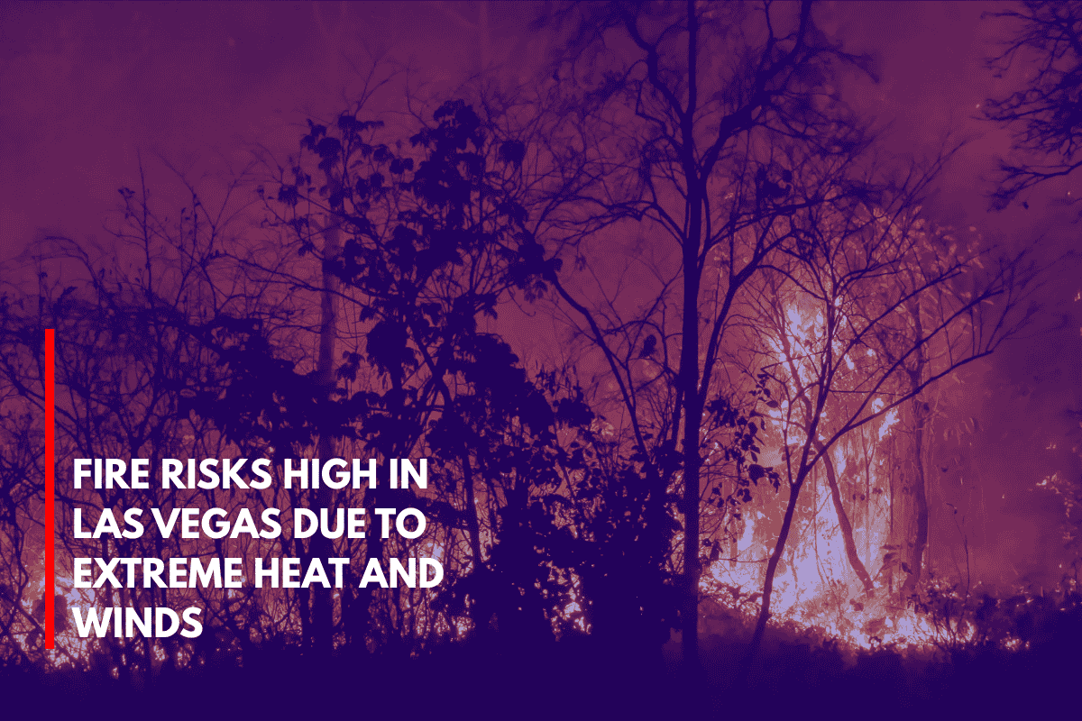
Las Vegas, Nevada – Today, dry winds and triple-digit temperatures are creating high fire risks across southern Nevada. A Red Flag Warning is in effect until 8 p.m. Saturday, urging people to stay extra cautious.
The National Weather Service Las Vegas reports that southwest winds of 15 to 25 mph, with gusts reaching 35 mph, combined with very low humidity (around 8%), are creating perfect conditions for wildfires to spread quickly.
Las Vegas and surrounding areas, like the outskirts of Clark and Lincoln counties, along I-15 and U.S. 93, are at particular risk.
What You Should Do
Avoid outdoor burning today.
Secure loose items around your property to prevent them from blowing away and possibly sparking a fire.
Limit open flames and stay away from dry brush areas.
Stay alert and listen to local weather alerts.
Risk Areas
Fire weather zones 461–466 in Nevada and zones 101–102 in northwest Arizona are the most at risk today. Saturday’s high temperature will be around 103°F, combining dry heat and gusty winds, with similar conditions expected on Sunday and Monday.
What to Expect for the Coming Days
There’s no rain in sight through midweek, and the heat will continue to climb next week, with highs reaching 109°F by Tuesday. It’s important to stay hydrated and limit your time in the sun, especially during the hottest parts of the day.
Five-Day Forecast for Las Vegas:
Saturday (July 5): Sunny, high of 103°F, southwest winds 10–16 mph, gusts to 20 mph.
Sunday: Hot, high of 105°F, light morning breeze.
Monday: Sunny and hot, high of 108°F.
Tuesday: Hottest day of the week, high of 109°F.
Wednesday: Mostly clear, high around 111°F.