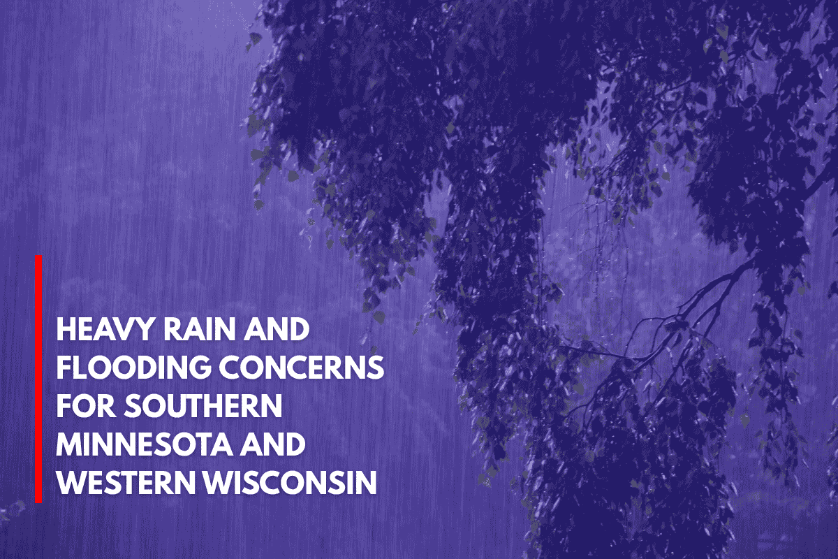
Minneapolis, Minnesota – Southern Minnesota and western Wisconsin are in for heavy rain midweek, with some areas expected to receive 4 to 5 inches of rain by Thursday evening. This could lead to flooding on rural roads and in low-lying areas, raising serious concerns for residents.
According to the National Weather Service in the Twin Cities, widespread rain will start Tuesday afternoon and last through early Friday, with the heaviest rainfall occurring between Wednesday and Thursday.
Areas including Rochester, Red Wing, and the Twin Cities metro are expected to receive 2 to 4 inches of rain. Localized areas near Worthington, Rice Lake, and Eau Claire could see totals exceeding 5 inches.
Flooding and Road Safety Concerns
Roadways, including U.S. Highway 52 and I-94, may experience pooling water and reduced visibility as rain accumulates. Emergency managers are urging residents, particularly in flood-prone areas, to stay updated on weather alerts and avoid driving through water-covered roads.
Weather Outlook and Temperature Trends
Daytime highs will remain in the low 70s during the rain, with a cooler pattern throughout the week. However, temperatures will rebound on Friday, with highs near 90°F by Saturday. This wet weather event marks one of the region’s heaviest June rainfall occurrences since 2019.
While the rain will subside by Friday, showers are expected to return by Sunday.
Rain Alerts and Five-Day Weather Outlook
Rain alerts are in effect through 7 a.m. Friday, so residents should stay tuned for additional advisories.
Five-Day Weather Outlook:
Wednesday: Heavy rain, high near 70°F
Thursday: Rain continues, breezy, high 72°F
Friday: Partly sunny, warmer, high 80°F
Saturday: Mostly sunny, hot, high 89°F
Sunday: Showers return late, high 85°F



Leave a Reply