
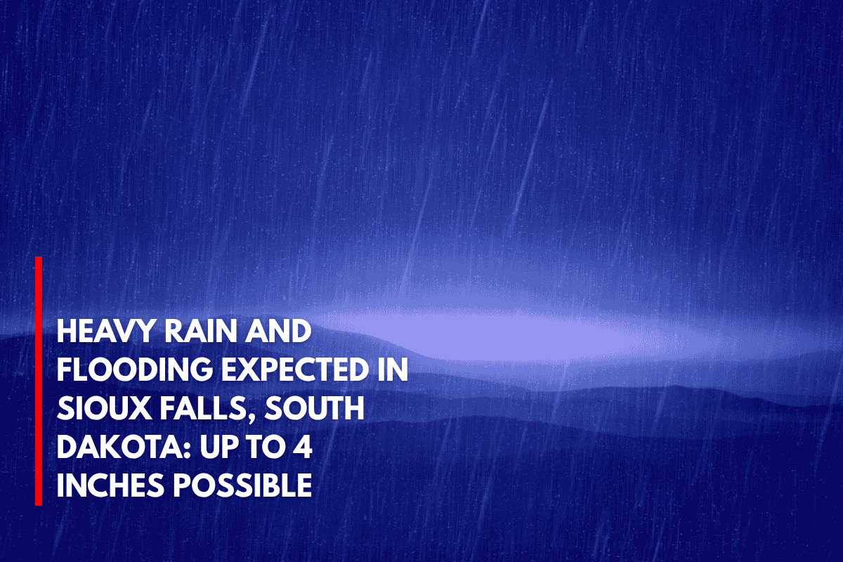
Sioux Falls, South Dakota – Widespread heavy rain is set to drench South Dakota starting late Tuesday night, with rainfall totals of up to 4 inches and increasing flooding concerns across the region through Thursday.
The National Weather Service (NWS) in Sioux Falls reports that an active weather pattern will bring repeated rounds of rain across southeast South Dakota, southwest Minnesota, northeast Nebraska, and northwest Iowa. Areas could see 2 to 4 inches of rain, with isolated spots possibly receiving even more—particularly in northeast Nebraska and northwest Iowa.
Areas at Risk for Flooding
Cities like Sioux Falls, Yankton, and Norfolk may face urban flooding and small stream flooding. Local emergency management officials are urging residents to avoid water-covered roads, especially during the overnight hours when visibility will be limited.
In addition to heavy rain, there is a chance for minor hail and strong storms on Wednesday, with the potential for an isolated tornado.
Travel and Safety Tips
Travelers on I-29, Highway 81, and regional farm routes should be prepared for rapidly changing conditions and possible water over roadways. Residents are advised to:
Charge electronic devices in case of power outages.
Review flood plans and ensure their safety measures are in place.
Monitor local alerts for the latest updates on the situation.
Storm Warnings and Updates
Warnings for flooding remain in effect through Thursday, and additional updates are expected as rain bands continue to develop.