
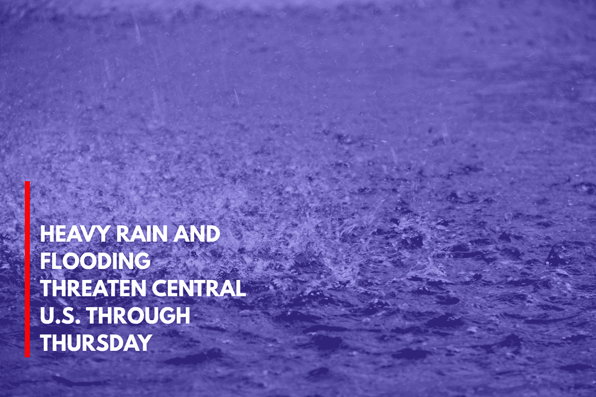
Kansas City, Mo. – Heavy rain is expected to soak parts of the central U.S. through Thursday evening, with up to 4 inches of rainfall in sections of Missouri, Kansas, Iowa, and Nebraska, raising concerns about flash flooding and potential travel disruptions.
According to the National Weather Service’s Weather Prediction Center, tropical moisture is being tapped by upper-level disturbances, leading to rounds of storms through Thursday, June 26. The heaviest rainfall is expected across northern Missouri into southern Iowa, where rainfall rates may exceed 2 inches per hour at times.
Flash Flooding and Travel Disruptions
Localized flash flooding is a concern, particularly in low-lying areas and along small creeks and rivers. Urban areas such as Des Moines, Kansas City, and Omaha could see storm drains overwhelmed, making roads briefly impassable. Texas and Oklahoma may also see a second surge of rain, potentially bringing similar flooding risks.
Drivers should avoid water-covered roads and stay tuned for alerts from local emergency management teams. Residents in flood-prone areas are advised to prepare for the possibility of power outages and ensure they have emergency kits and backup power ready, particularly in rural zones where road access could be cut off.
More Rain Expected Into the Weekend
Additional rounds of rain remain possible into the weekend, as the current weather pattern is expected to continue.