
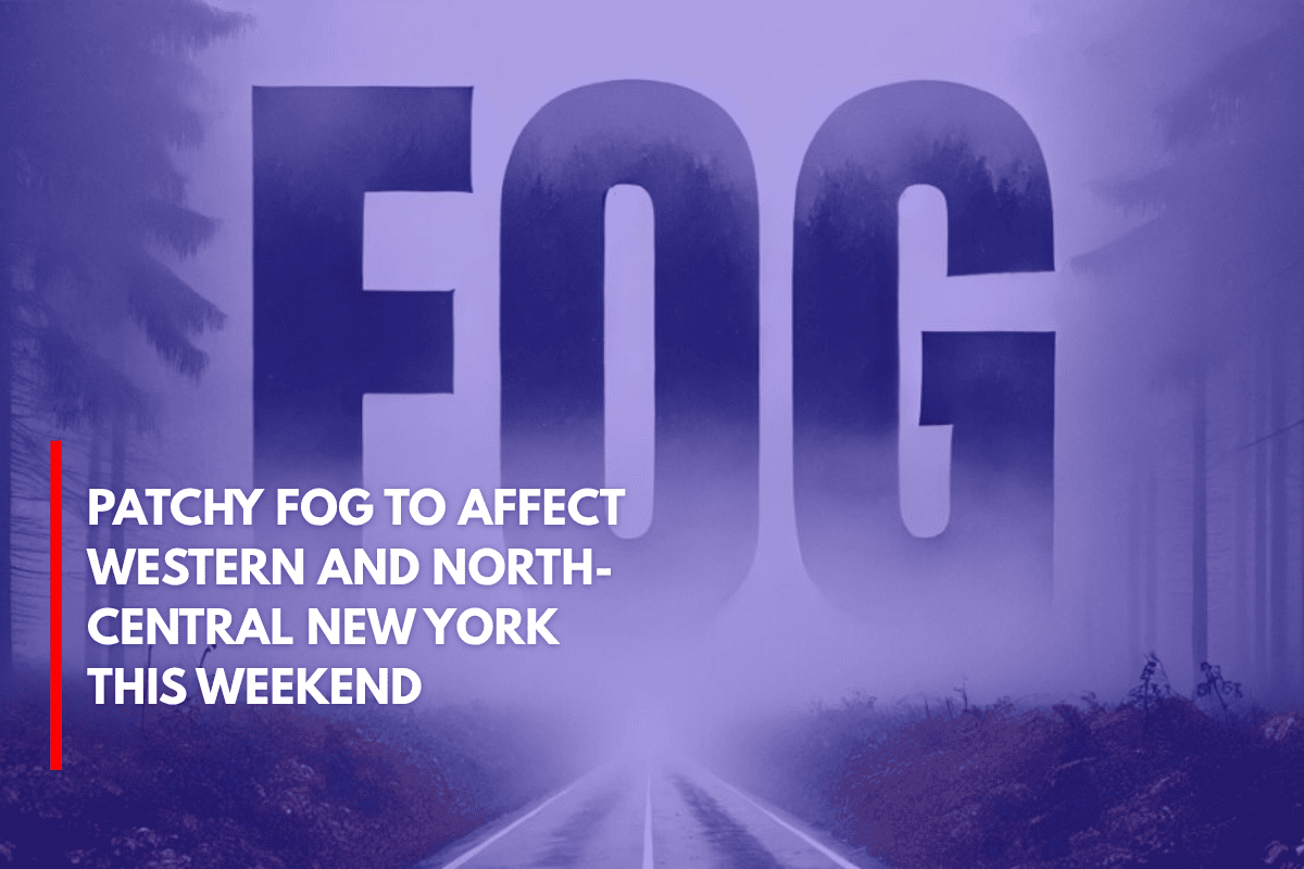
Buffalo, N.Y. – A patch of fog will settle over western and north-central New York late Sunday, reducing visibility and bringing cool temperatures in the 50s and low 60s for early commuters.
The National Weather Service in Buffalo reports that fog is expected to form after 8 p.m. on Sunday, lingering through at least 10 a.m. on Monday.
The most significant impacts will be in low-lying and rural areas near I-90, I-81, and I-86. Cities like Buffalo, Rochester, and Jamestown will likely see misty conditions, with overnight lows ranging from 57°F in Wellsville to 62°F in Dunkirk.
Dense fog will be most prominent in areas like Springville, Olean, and parts of the Tug Hill Plateau, where early-morning visibility may drop to below a quarter mile. Motorists are urged to use low beams, reduce their speed, and allow extra time for travel.
While the fog will clear by late morning, damp conditions may persist into the mid-morning, particularly around the Finger Lakes and eastern Lake Ontario regions. Temperatures will remain near seasonal averages, offering a mild start to the week once the fog lifts.
Although no significant precipitation is expected, additional advisories could be issued if fog redevelops overnight Monday. Drivers should stay updated on weather conditions and exercise caution on the road.