
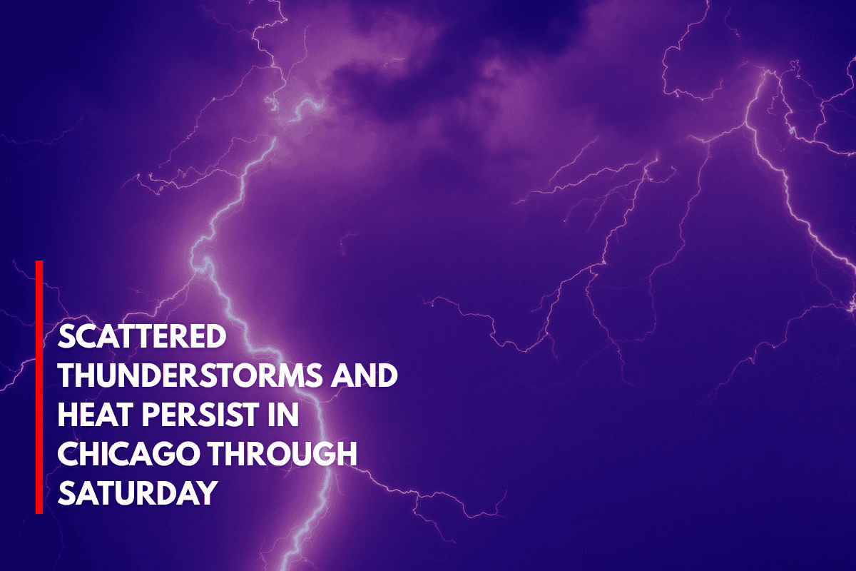
Chicago, Illinois – Scattered thunderstorms and sweltering heat will continue across northeastern Illinois through Saturday, with highs climbing into the low 90s and only lakeshore communities offering some relief.
The National Weather Service in Chicago predicts isolated to scattered thunderstorms each afternoon and evening through the weekend. From Wednesday to Friday, daytime temperatures will range between 88°F and 92°F, while overnight lows will remain mild, ranging from the mid-60s to low 70s.
Weather Concerns for Commuters
In Cook County, storms could develop along major travel routes such as I-55, I-80, and I-294 during evening commutes, creating visibility hazards and the risk of hydroplaning.
Areas along Lake Michigan, like Rogers Park and Hyde Park, may experience slightly cooler temperatures but will still be vulnerable to passing storms. Wednesday night and Thursday afternoon are expected to have the highest storm chances.
Safety and Preparedness
Residents are urged to:
Stay weather-aware.
Limit outdoor activities during the hottest parts of the day.
Ensure access to air conditioning and keep hydrated.
There is also a risk of brief power outages and heavy downpours with the stronger storm cells. Although the risk of severe weather is low, it’s still present, and storms could develop quickly.
Five-Day Weather Forecast for Chicago, IL
Wednesday: Scattered PM storms, high 81–91°F, low 64–74°F
Thursday: Isolated PM storms, high 88–92°F, low 69–73°F
Friday: Storms possible late, high 86–91°F, low 67–72°F
Saturday: PM storms near the lake, high 88–91°F, low 68–73°F
Sunday: Drying trend, slightly cooler, high 82–87°F (estimated)