
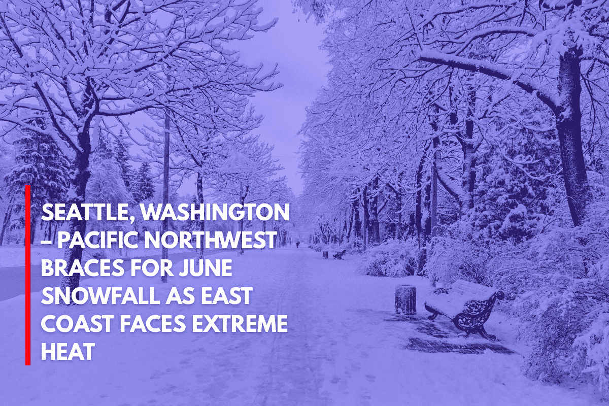
As cities along the East Coast prepare for triple-digit heat indices this weekend, Western Washington is gearing up for something much chillier: potential June snowfall.
According to the National Weather Service (NWS) in Seattle, a cooler weather pattern will arrive Friday and last through Saturday, bringing snow levels down to near 5,000 feet, a rare occurrence for mid-June.
Snowfall Expected in Higher Elevations
Light snow accumulation or a rain/snow mix is expected over the Cascades, especially between Friday afternoon and midday Saturday.
This cooler-than-usual weather will be in sharp contrast to the heatwave affecting the East Coast, where dangerous humidity and soaring temperatures may push the “feels like” values above 105°F, leading to excessive heat warnings and heightened risks of heat-related illnesses.
Prepare for Unusual Weather Extremes
Hikers and campers near Mount Rainier or Stevens Pass should prepare for wintry conditions at elevations above 5,000 feet. The NWS has issued a warning for those heading to the mountains to bring cold-weather gear and plan for possible travel disruptions due to the snowfall.
“Monitor the latest forecasts and let someone know your itinerary,” the NWS advised, highlighting the potential impact on high-country travel and outdoor activities. While the snowfall is expected to remain light, the combination of timing and elevation could still affect recreation plans in the affected areas.
The weekend’s weather is a reminder of the unusual extremes unfolding across the country, with the East Coast dealing with dangerous heat and the Pacific Northwest facing an unusual late-season snowfall.