
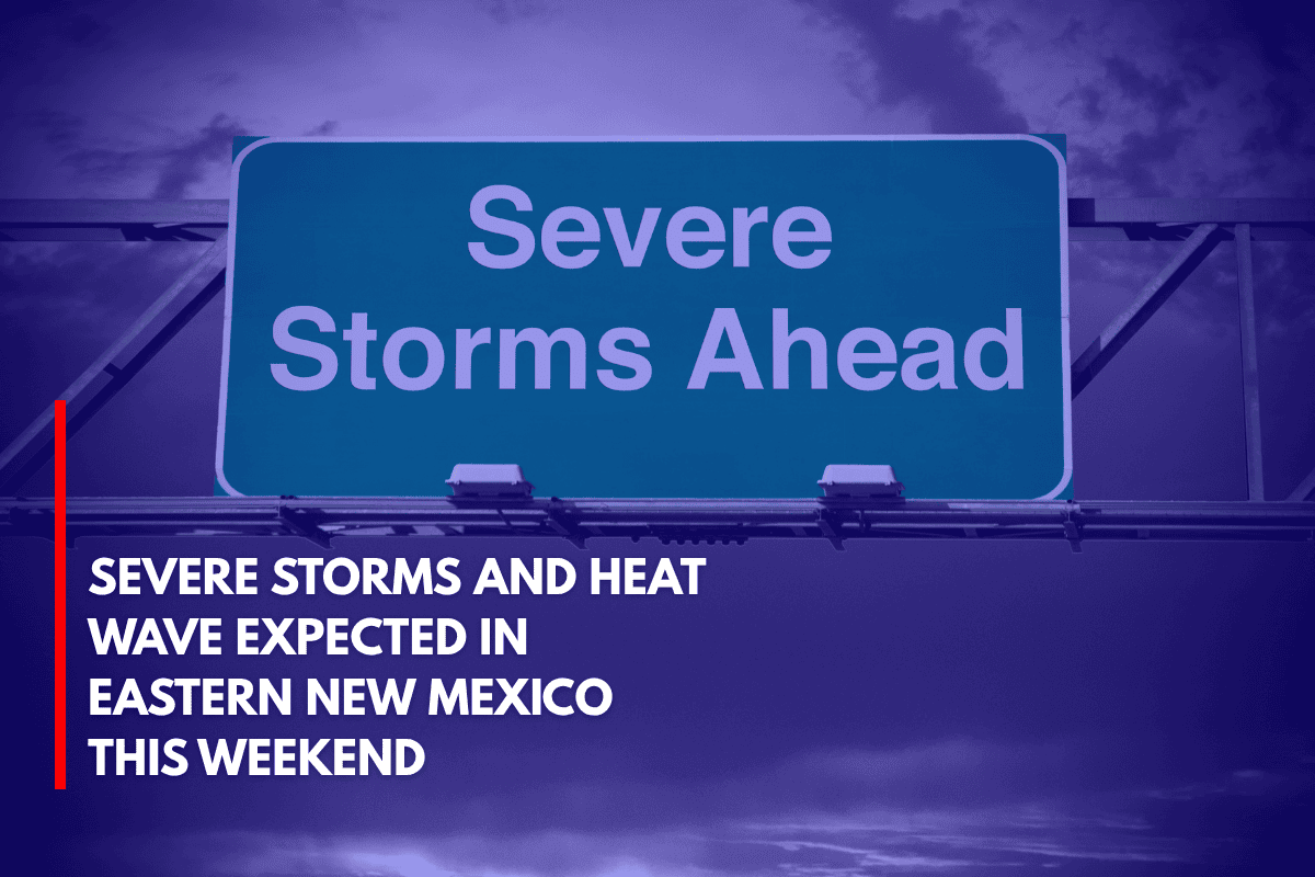
If you’re in eastern New Mexico, get ready for severe thunderstorms this Saturday, with possible travel disruptions and damage. From 2 p.m. to 10 p.m., thunderstorms are expected to hit Clovis, Tucumcari, and Clayton, bringing damaging winds and large hail.
According to the National Weather Service in Albuquerque, the Marginal Risk zone for severe storms covers much of the eastern part of the state. These storms will begin near the Texas border and move westward. Cities like Santa Rosa and Las Vegas can expect stormy weather later in the afternoon and evening. Hazards include:
Cloud-to-ground lightning
Gusty winds over 50 mph
Small hail
Heat Wave Expected Next Week
As if the storms weren’t enough, temperatures in central and western New Mexico will soar next week, with Roswell expected to hit 103°F by Friday. This means an increased risk of heat-related illness, especially between 1 p.m. and 7 p.m., when the sun is at its hottest. Be cautious and stay hydrated during these peak hours.
Daily Storms and Flash Flood Risk
The storms aren’t stopping on Saturday. From Sunday through next week, there’s a 30-60% chance of rain every day across cities like Albuquerque, Santa Fe, and Socorro. With the chance of localized flash flooding and stormy afternoons, especially in areas with poor drainage or burn scars, residents should be prepared.