
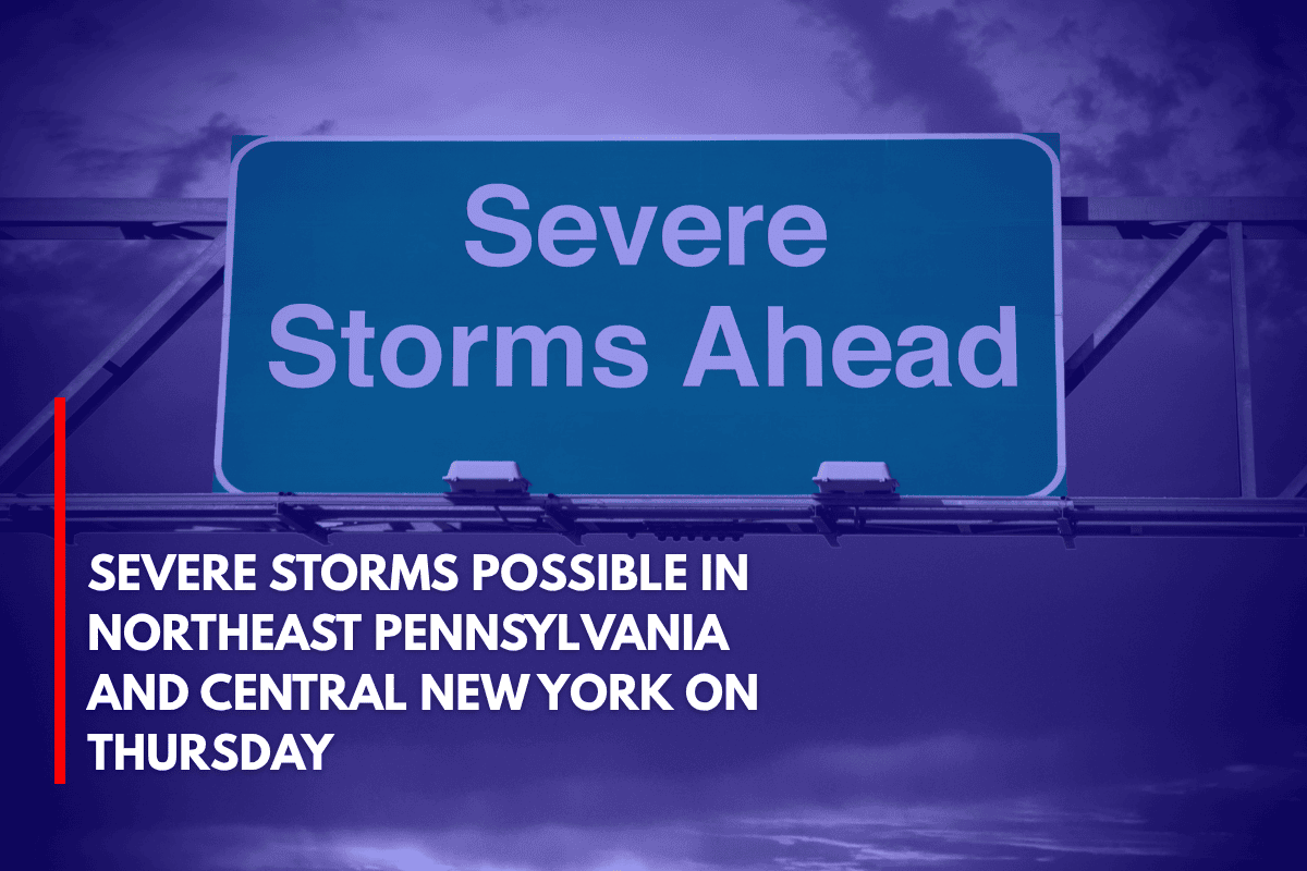
Binghamton, NY – Scattered severe storms are expected across parts of Northeast Pennsylvania and Central New York on Thursday, with the most intense storms likely occurring between noon and 8 p.m. The highest risk areas will be east of Interstate 81, with damaging winds, hail, and heavy rainfall being the primary threats.
What to Expect
The National Weather Service in Binghamton reports that a cold front will push through the region, triggering severe weather with a Level 2 risk zone, which includes cities like Scranton, Wilkes-Barre, Towanda, and Oneonta.
While areas like Ithaca, Utica, and Binghamton fall under a lower Level 1 risk, isolated storms remain possible in those areas as well.
Residents are urged to be prepared for fast-moving thunderstorms, which could cause downed trees and power lines. Drivers on I-81 and Route 6 should expect sudden downpours and reduced visibility, making travel potentially hazardous.
Safety Precautions
Charge mobile devices to ensure communication during potential power outages.
Stay indoors during thunderstorm warnings to avoid lightning and other hazards.
Monitor local weather updates throughout the day as conditions may change rapidly.
Timing of Severe Weather
While the exact timing of the storms remains uncertain, the most intense activity is expected in the late afternoon. Authorities will continue to monitor the situation, and more updates and potential watches are expected Thursday morning as the system develops.