
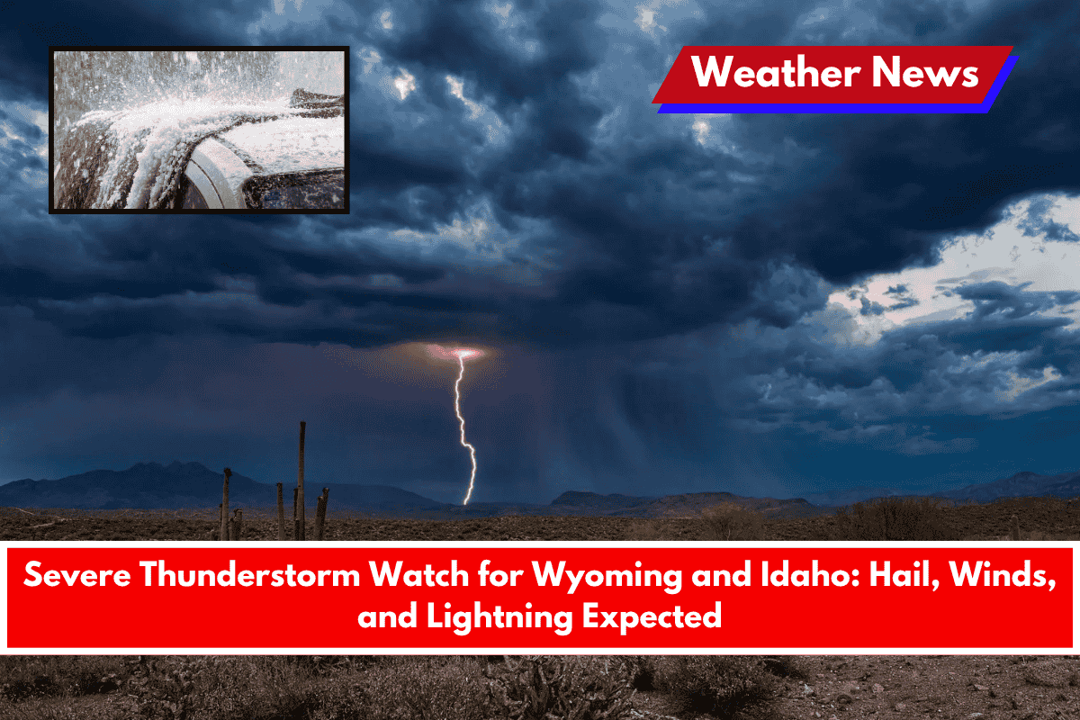
JACKSON, WY – The National Weather Service (NWS) has issued a Severe Thunderstorm Watch for multiple counties across Wyoming and Idaho, including both Teton Counties, with warnings of strong winds, large hail, and frequent lightning.
The weather watch is active until 9:00 p.m. on Wednesday, June 11, so residents and travelers in the area should stay alert and be prepared for sudden weather changes.
Areas Under the Watch
Wyoming counties under the watch include:
- Big Horn, Fremont, Hot Springs, Lincoln, Park, Sublette, Sweetwater, Teton, and Washakie.
Idaho counties affected include:
- Bannock, Bear Lake, Bingham, Bonneville, Caribou, Franklin, Fremont, Madison, Oneida, and Teton.
Jackson Weather Forecast
In Jackson, Wyoming, the temperature is expected to reach a high of 75°F and drop to a low of 42°F tonight. The NWS warns that wind gusts could reach up to 70 mph, and hail could be as large as ping-pong balls. Lightning will likely be frequent in the affected areas.
What to Expect
Residents in these counties should expect:
- Severe wind gusts that could cause power outages or tree damage
- Large hail that could damage cars, roofs, or crops
- Frequent lightning, which can be dangerous outdoors and may spark fires in dry areas
The NWS recommends staying indoors, avoiding travel during storm activity, and securing outdoor objects that could blow away.
Looking Ahead: Drier Weather Forecast
Local meteorologist Alan Smith from Buckrail predicts that after tonight’s storm passes, the weather will shift to a drier pattern for the rest of June. This means fewer chances of rain or storms in the coming weeks.