
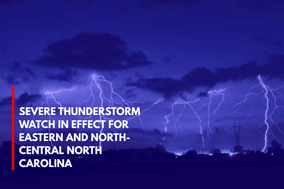
Raleigh, N.C. – A severe thunderstorm watch remains in effect until 11 p.m. Thursday, as damaging winds and intense lightning sweep across eastern and north-central North Carolina.
The affected areas include Raleigh, Siler City, Tarboro, Henderson, and Greenville, with over 2.5 million people in the watch zone, along with 577 schools and 40 hospitals at risk.
Storm Hazards and Expected Conditions
The National Weather Service in Raleigh has warned that these storms could bring isolated hail up to the size of quarters in some areas. Wind gusts are expected to reach 65 mph, and frequent lightning is anticipated to cause dangerous conditions, including potential power outages and hazardous travel.
Travel Advisory and Safety Measures
For those traveling along Interstate 95 and U.S. 64, drivers should prepare for sudden downpours and limited visibility. Local emergency management agencies are advising residents to stay indoors, avoid outdoor activities, and secure any loose items around their property. They also urge people to stay off the roads if possible, as the severe weather could cause accidents.
Power Outages and Ongoing Threat
Power companies are on high alert, expecting scattered outages, particularly in rural and coastal counties. The storm activity is expected to continue into the night, with areas like Plymouth, Kill Devil Hills, and Elizabeth City at risk.
While the storm threat is expected to diminish after 11 p.m., authorities have indicated that additional advisories may be issued if conditions persist or worsen.
Stay informed and take necessary precautions to stay safe as the storm system moves through the region.