
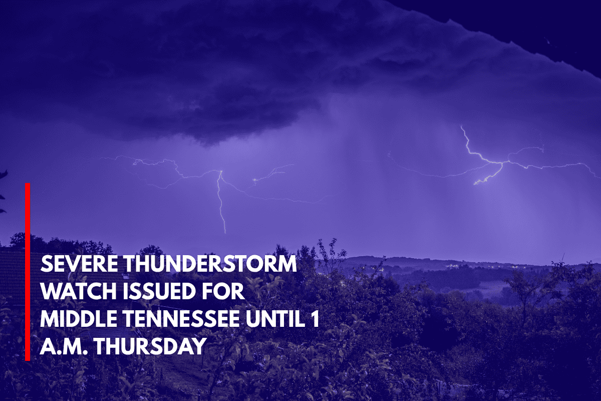
Severe storms are expected to impact parts of Middle Tennessee tonight, with damaging winds, lightning, and heavy rain possible through 1 A.M. EDT Thursday.
According to the National Weather Service Storm Prediction Center, Severe Thunderstorm Watch 439 has been issued for 19 counties, including areas from Davidson and Montgomery to Putnam and Fentress.
This watch remains in effect until 1 a.m. Thursday, with the greatest risk being winds exceeding 60 mph, frequent lightning, and isolated hail.
Areas Affected
Cities like Nashville, Clarksville, Cookeville, and Gallatin are under the watch. The I-40, I-65, and U.S. Highway 70 corridors are expected to experience hazardous conditions, including possible power outages and downed trees.
In rural areas such as Houston and Clay counties, residents should remain particularly alert, as limited cell coverage could delay emergency alerts.
Safety Precautions
If possible, drivers are urged to delay travel tonight to avoid dangerous road conditions. Residents should secure outdoor furniture and charge electronic devices now in case of power outages. It’s also important to avoid sheltering under trees, and people should move indoors at the first sign of thunder to stay safe.
Storm Timeline
This marks the first widespread severe thunderstorm watch for Middle Tennessee this month. While the region has experienced below-average storm activity in June so far, tonight’s system could bring quick-moving and high-impact weather.
The Storm Prediction Center may issue additional watches if the storms remain strong past midnight.
Residents are urged to stay alert and stay updated with local weather reports to ensure their safety during the storms.