
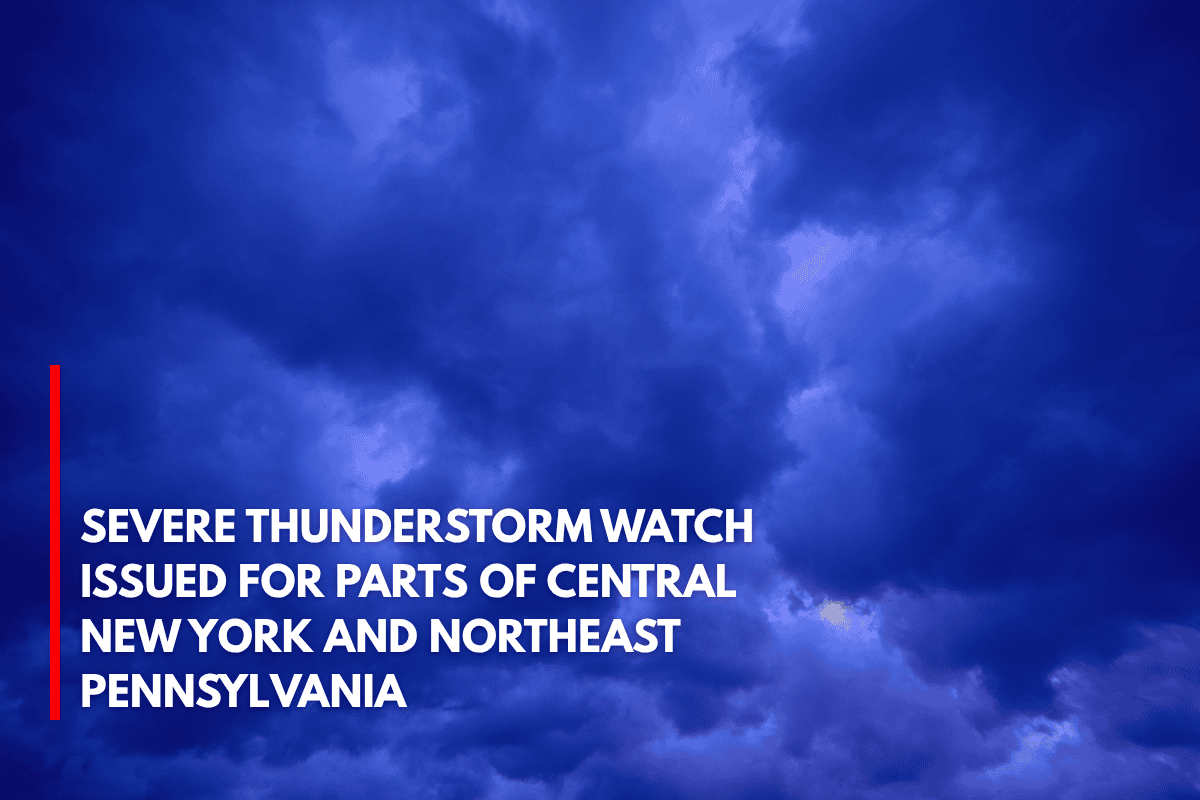
Binghamton, N.Y. – Strong storms are expected to impact parts of central New York and northeast Pennsylvania Thursday evening. A Severe Thunderstorm Watch is in effect for 13 counties until 10 p.m..
The National Weather Service in Binghamton issued Watch 484, which includes counties in New York such as Broome, Tioga, Otsego, and Delaware, as well as Luzerne, Lackawanna, and Pike counties in Pennsylvania. Cities including Binghamton, Scranton, Wilkes-Barre, and Monticello are in the storm’s path.
What to Expect
The primary threats are damaging wind gusts up to 60 mph, hail, and frequent lightning. Travelers on I-81, I-88, and Route 6 should be cautious as sudden downpours could reduce visibility and lead to flash flooding.
If you have outdoor plans for the holiday, be prepared for possible disruptions, especially in areas that have already been saturated by recent rain.
Safety Tips for Residents
Charge your phones and keep them nearby in case of power outages.
Secure loose objects outside to prevent damage.
Avoid outdoor activities until the storm passes.
While tornadoes are not the main threat, isolated rotation could still occur with stronger storm cells.
More Weather Alerts Could Follow
This is the first widespread severe weather alert in the region since early June. If storms develop further to the west of the Finger Lakes, more alerts could be issued. Stay updated on weather conditions as the evening progresses.