
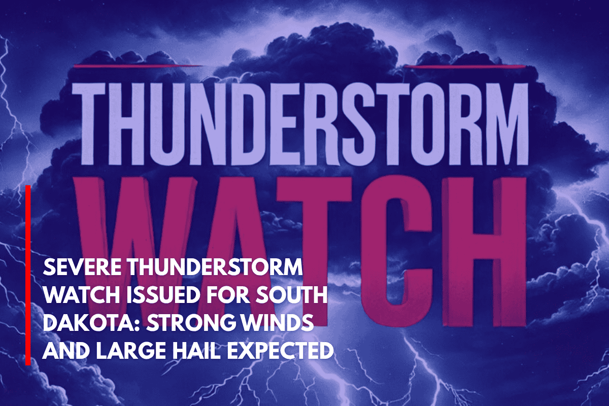
Rapid City, S.D. – A powerful line of storms is moving eastward through South Dakota tonight, bringing with it wind gusts up to 85 mph and hail as large as two inches. A Severe Thunderstorm Watch is in effect until 1 a.m. MDT Monday.
According to the National Weather Service’s Storm Prediction Center, an organized squall line is developing across western and central South Dakota, as well as northeastern Wyoming.
The system is expected to intensify overnight, with the biggest threats being damaging outflow winds and isolated supercells capable of producing large hail.
Areas in the storm’s path include Pennington, Meade, Haakon, Stanley, and Hughes counties. The strongest winds are expected to hit Rapid City, Wall, and Pierre between 9 p.m. and midnight. Travelers along I-90 and U.S. 83 are advised to delay trips or exercise extreme caution due to potential debris and poor visibility.
Residents are urged to secure loose outdoor items, ensure devices are charged, and prepare for potential power outages. While tornadoes are not the primary threat, the NWS has indicated that they cannot be ruled out due to the storm’s intensity.
As the storms progress eastward, additional warnings may be issued throughout the night. Stay alert and monitor weather updates if you’re in the affected areas.