
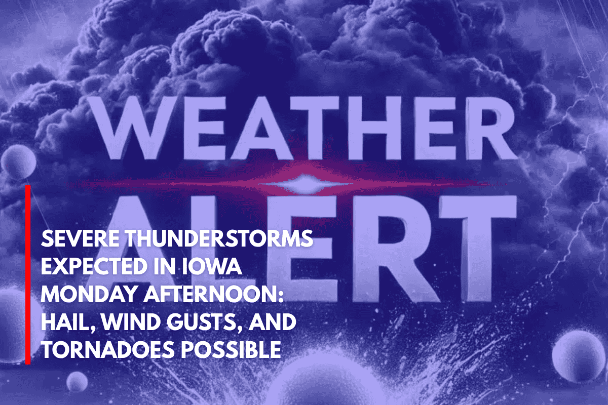
Des Moines, Iowa – Drivers and residents across Iowa should prepare for severe thunderstorms beginning after 4 p.m. Monday.
The storms are expected to bring large hail, gusty winds, and the potential for isolated tornadoes, which may affect travel, utilities, and evening plans. Northern and western parts of the state are at the highest risk, while other areas may experience less severe conditions.
The National Weather Service in Des Moines has issued a Slight Risk (level 2 of 5) for severe weather across northern and western Iowa, including Fort Dodge, Mason City, and Sioux City.
Central and southern Iowa, including Des Moines, Ames, and Ottumwa, are under a Marginal Risk. The strongest storm activity is expected to occur late Monday afternoon into the evening.
The primary hazards from these storms include damaging wind gusts exceeding 50 mph and hail up to an inch in diameter.
While the overall tornado threat remains low, a few tornadoes could potentially develop, particularly in northern Iowa. Heavy rainfall is expected, which may lead to ponding on roads and isolated flash flooding in low-lying or poorly drained areas.
Residents are advised to stay indoors during the storms and avoid outdoor plans. It is important to have multiple ways to receive weather warnings and to keep devices charged. Make sure your shelter is ready if severe warnings are issued.
The storm activity may linger into the late evening, and further updates will be provided as conditions evolve. Watches or warnings may be issued throughout the day, so it’s crucial to stay alert and keep monitoring weather reports.