
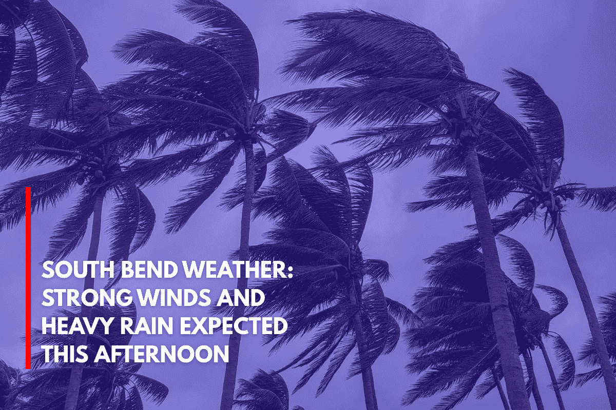
South Bend, Indiana – Strong wind gusts and heavy downpours are likely to hit Northern Indiana this afternoon, as a marginal risk for severe thunderstorms moves across the region.
The risk will be in effect from 2 p.m. to 10 p.m. EDT on Sunday. Isolated flooding is also possible, particularly in low-lying areas or places with poor drainage.
Thunderstorm Risks for the Region
According to the National Weather Service Northern Indiana, the best chances for severe storms will occur in the late afternoon and evening. While not widespread, storms that develop may bring gusty winds and intense rainfall.
Cities like South Bend, Fort Wayne, Warsaw, and Kokomo, along with smaller communities like Monticello and La Porte, are at risk. Key highways such as U.S. Route 30, I-69, and I-94 may experience visibility drops and ponding water due to heavy rain.
What You Should Do
While the threat is considered lower-end, conditions could change rapidly for those in affected areas. The public is advised to:
Monitor weather alerts for updates.
Avoid flooded roads and areas prone to poor drainage.
Head indoors at the first sign of thunder.
The risk of severe storms will continue through the evening, with updates expected as storms develop. Be prepared for fast-changing weather conditions this afternoon.