
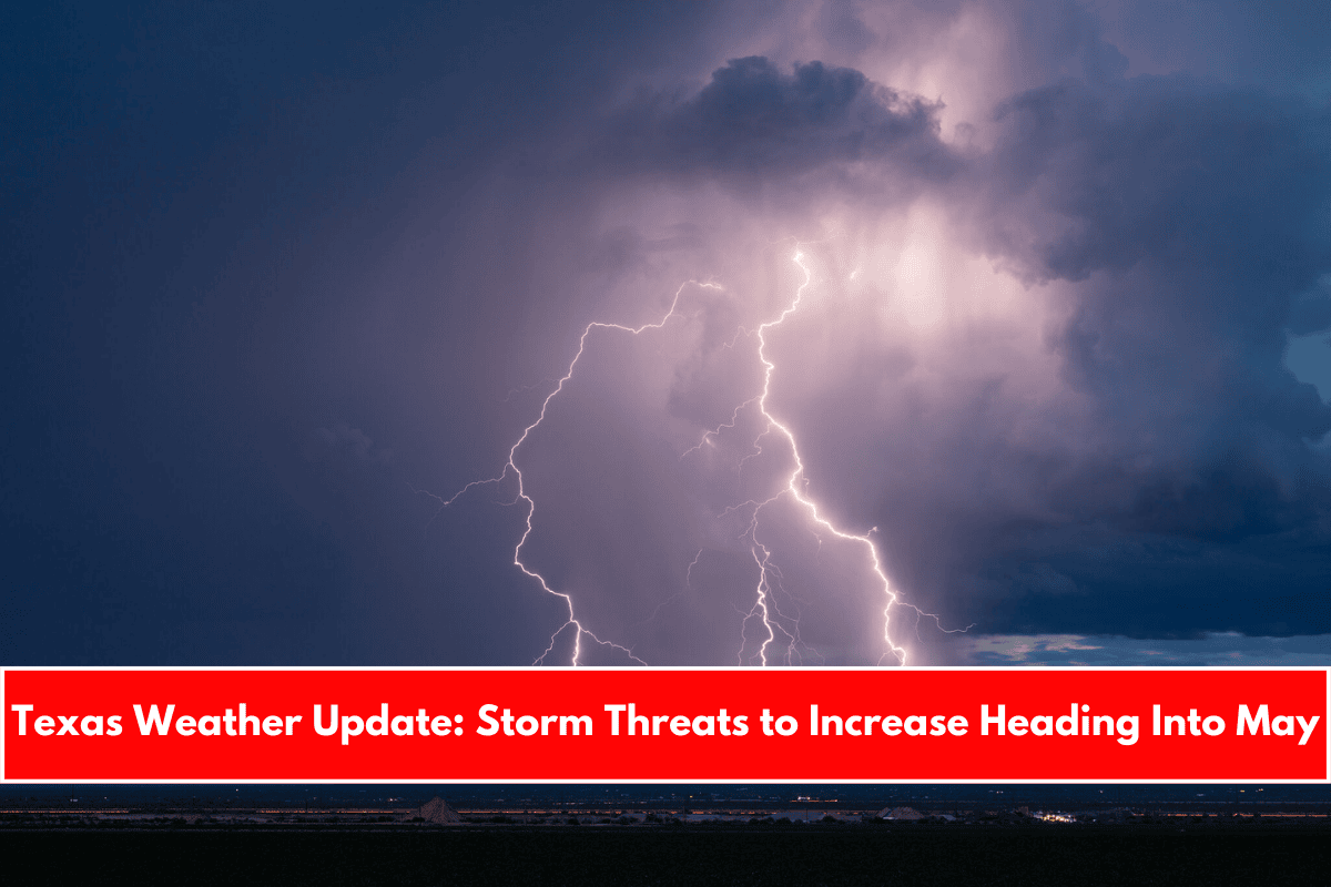
As we move through the final days of April and into May, it’s no surprise that Texas faces the potential for severe weather almost every day. The atmosphere is fully loaded with moisture from the Gulf, and regular disturbances moving in from the west are creating the perfect conditions for storms.
This week follows the same pattern. Severe weather will start in West Texas but is expected to move eastward by midweek, bringing thunderstorms and hail to areas like San Antonio along the Interstate 35 corridor. Here’s what Texans can expect in the coming days.
Sunday’s Forecast: Warm and Mostly Calm for South Texas
Sunday morning will start off beautifully across South Texas, with low temperatures in the upper 60s under mostly cloudy skies. Temperatures will steadily rise throughout the morning, reaching around 80 degrees by noon.
More sunshine is expected by the afternoon, pushing temperatures to the upper 80s and even near 90 degrees. However, the high humidity will make it feel hotter, with heat index values between 91 and 93 degrees.
If you plan to attend any Fiesta events in San Antonio, remember to stay hydrated and find shade whenever possible.
Severe Weather Outlook for Sunday
The chances of severe storms will be at their lowest on Sunday. Only parts of West Texas and the Panhandle are expected to see isolated severe weather. Because of this, the Storm Prediction Center has issued a Level 2 out of 5 risk for cities like Amarillo, Lubbock, and Midland.
Severe Storm Threat Increasing Early Next Week
Monday’s Forecast
A low-pressure system moving closer to Texas on Monday will increase the chances of severe weather. Again, the greatest risk will be across West Texas, with another Level 2 out of 5 severe weather risk issued by the Storm Prediction Center.
In South Texas, including San Antonio, Monday will be mostly warm and cloudy. High temperatures are expected to reach the upper 80s. Rain chances will be low on Monday but will start rising as the week progresses.
Tuesday and Wednesday’s Forecast
By Tuesday, the low-pressure system will continue moving eastward, spreading storm chances into Central and North Texas. With high moisture levels and unstable air, any storms that develop could quickly turn severe, producing large hail and damaging winds.
For San Antonio, storm chances will still be low during the day Tuesday but will start climbing to about 20-30% by nighttime.
Wednesday will bring San Antonio’s highest storm chance of the week. Though storms will be scattered, and not everyone will see rain, the risk for severe weather will be higher. Current forecasts suggest about a 50% chance of storms for the area. Any storms that do form could be strong.
Temperature Trends Through the Week
Throughout the week, temperatures across San Antonio will remain fairly steady:
- Tuesday and Wednesday highs: mid- to upper-80s
- By Thursday: highs could climb to the low 90s
- Morning lows: staying mild, mostly in the low 70s
Overall, despite the increase in storm chances, temperatures will stay warm and consistent as we step into May.