
Millions of Americans are on high alert as severe weather continues to batter the Midwest and Southern U.S., bringing strong tornadoes, heavy rain, large hail, and powerful winds.
The dangerous weather system started over the weekend and is expected to continue through the early part of the week, with conditions worsening in some areas.
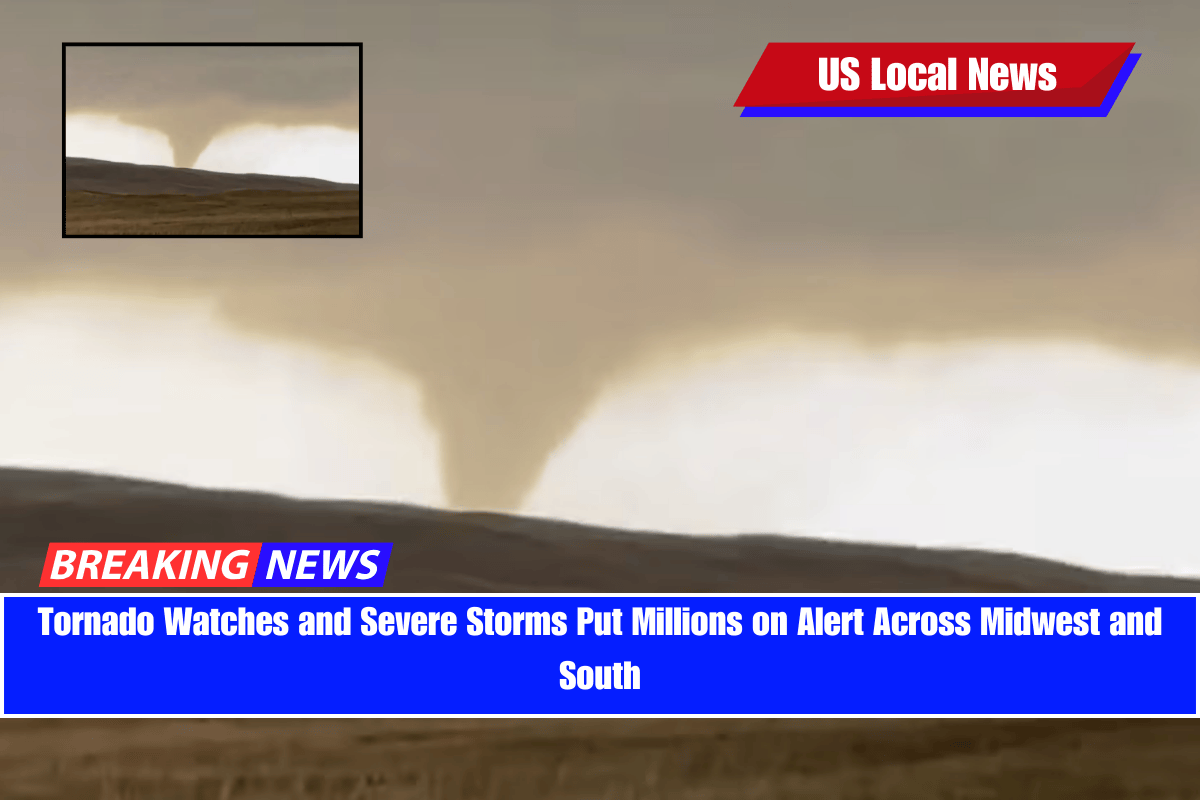
Tornado Watches and Moderate Risks Across the Midwest
A tornado watch is in effect on Monday for parts of the Midwest, especially:
- Northern Iowa
- Eastern Minnesota (including Minneapolis)
- Western Wisconsin
These areas are at moderate risk, facing the greatest threat of:
- Strong tornadoes
- Very large hail
- Destructive winds
The tornado watch will stay active until 11 p.m. CT on Monday.
Other areas under a tornado watch include parts of Missouri, Nebraska, Kansas, Texas, and Oklahoma.
This includes cities like Des Moines and Topeka, with strong winds expected to reach up to 75 mph, and the watch remains in place until 11:59 p.m. CT Monday.
Severe Weather Spreading Further
Enhanced risks for severe storms stretch from Kansas City, Missouri, to Green Bay, Wisconsin, and from Duluth, Minnesota, to Sioux Falls, South Dakota.
A slight risk is also in place from west Texas through the western Great Lakes, covering areas like Oklahoma City.
Over the weekend and into Monday, more than 60 million Americans from Texas to the Great Lakes were warned to prepare for dangerous weather.
Weekend Damage Already Reported
On Sunday, severe weather already caused major damage:
- 10 tornadoes were reported in western Nebraska.
- Baseball-sized hail fell in several areas.
- Near Hyannis, Nebraska, a tornado derailed a train, according to the Nebraska State Patrol.
- Wind gusts reaching 75 mph were recorded in parts of Texas and South Dakota.
Severe Weather Continues into Tuesday
The threat doesn’t end Monday. On Tuesday, severe weather is expected to move east, putting areas from central Ohio to western New York at enhanced risk for:
- Damaging winds
- Tornadoes
- Large hail
There’s also a slight risk for storms stretching from western Texas to northern Vermont.
Heavy Rain and Flooding Threat Grows
A moderate risk for excessive rainfall is forecast starting Tuesday afternoon over:
- Northern Texas
- Central Oklahoma
- Southeast Kansas
- Southwest Missouri
In these areas, up to 7 inches of rain is possible, along with hail, strong winds, and tornadoes. This raises the chance of flash flooding, especially in Oklahoma and northern Texas, where the ground is already saturated from weekend storms.
Sadly, one person died on Saturday due to flash flooding in Oklahoma.
Highly saturated soils and swollen streams will make these areas even more vulnerable to additional floods.
Flooding Risk Continues on Wednesday
On Wednesday, the focus shifts to:
- Eastern Oklahoma
- Western Arkansas
More heavy rain is expected, keeping the risk of flash flooding very high.
Residents are urged to stay alert, listen to weather warnings, and take safety precautions as the dangerous weather continues.