
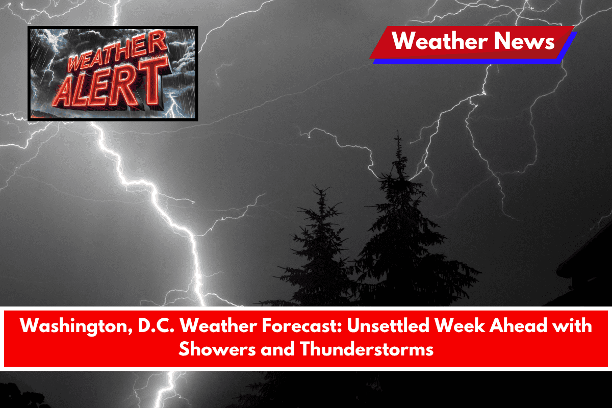
The Washington, D.C. area is in for a soggy start to the work week, with recurring chances for showers and thunderstorms throughout the region. The unsettled weather could disrupt both commutes and outdoor plans, so residents should remain prepared for changing conditions.
Travelers on major roads, like the Capital Beltway and I-66, should stay cautious of slick road conditions during afternoon hours, especially with the ongoing moisture following a weekend of flood watches in the area.
Sunday, June 14 – A Cloudy Start
The weather pattern will begin on Sunday, with a 60% chance of showers and thunderstorms. Expect mostly cloudy skies, with the potential for rain throughout the day. Temperatures will reach a high of 73°F.
Monday, June 15 – More Showers on the Way
On Monday, the chance of rain drops slightly to 50%, with thunderstorms likely in the afternoon, particularly after 2 p.m. Temperatures will stay cool with a high near 74°F. As always, keep an umbrella handy, and be prepared for sudden changes in weather as you go about your day.
Tuesday, June 16 – Warming Up with Afternoon Storms
The chance for afternoon thunderstorms continues on Tuesday, with temperatures climbing to a high near 81°F. The humid feel will return, making the day feel warmer than it actually is. Be aware of possible stormy conditions throughout the afternoon, especially if you have outdoor activities planned.
Wednesday, June 17 – Hot and Humid
Wednesday will be the hottest day of the week, with temperatures expected to hit 88°F. The day will start partly sunny but with a continued risk of afternoon thunderstorms. The humidity will also make the weather feel even warmer. Stay updated with weather forecasts if you have any outdoor plans.
Juneteenth Holiday Outlook
Looking ahead to the Juneteenth holiday on Thursday, the unsettled weather pattern will persist, with a 30% chance of showers and thunderstorms.
The high will reach 89°F, keeping it warm but potentially rainy. While this doesn’t necessarily mean a washout, those with plans for outdoor celebrations should keep an eye on the forecast for any changes in the weather.
Friday, June 19 – A Beautiful Finish to the Week
By Friday, the stormy weather should finally break, with sunny skies and temperatures near 88°F. It will be a great way to round out the week with clear, pleasant weather.
Five-Day Forecast Summary:
- Sunday: Mostly cloudy. High: 73°F.
- Monday: Showers and thunderstorms likely. High: 74°F.
- Tuesday: Chance of thunderstorms. High: 81°F.
- Wednesday: Partly sunny and hot. High: 88°F.
- Juneteenth (Thursday): 30% chance of showers. High: 89°F.
- Friday: Sunny. High: 88°F.