
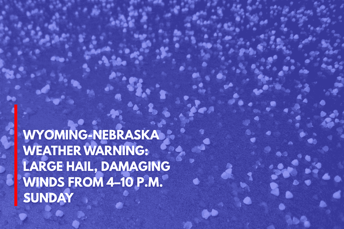
Cheyenne, Wyo. – Severe thunderstorms are expected to impact the Nebraska Panhandle and parts of southeastern Wyoming this evening, with the worst conditions anticipated between 4 p.m. and 10 p.m. Sunday. The storms will bring large hail, damaging winds, and frequent lightning to the area.
Areas at Highest Risk
According to the National Weather Service (NWS) in Cheyenne, the highest threat zones stretch from Scottsbluff and Alliance, Nebraska, down through Sidney, and into parts of Goshen and Laramie counties in Wyoming.
These areas are in the “Slight Risk” category, meaning scattered severe storms are expected. Marginal zones may experience isolated strong storm cells.
Expected Storm Impacts
This storm system could be one of the most widespread severe weather events in June for the region, with hail potentially reaching the size of quarters and wind gusts exceeding 60 mph.
Major roadways, including I-80 from Cheyenne to Sidney and U.S. Route 385, may be impacted during peak travel hours. Drivers should stay updated with weather reports and avoid travel during periods of lightning or high winds.
Safety and Precautions
Residents are advised to secure outdoor objects ahead of the storm to prevent damage, and charge devices in case of power outages. While the severe weather is expected to clear by 10 p.m., severe weather alerts will remain in effect through this time, and additional watches or warnings could be issued as conditions evolve.
Stay alert and stay safe as this intense weather system moves through the region.