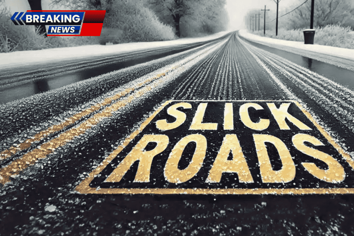
Burlington, Vermont, is waking up to snowy roads and an impending ice glaze, raising travel concerns. The National Weather Service in Burlington reports that light snow will continue through the morning, with accumulations ranging between 1 and 4 inches in northern Vermont.
Roads, especially on untreated surfaces and secondary streets, are slushy and slick, making driving hazardous.
Afternoon Weather Changes and Ice Risk

By afternoon, the snow will mix with rain, but conditions will worsen as freezing drizzle begins to develop later in the day. Ice accumulation up to 0.05 inches is possible, enough to coat roads, sidewalks, and bridges.
Key routes, including I-89, Route 7, and local hills around Chittenden County, could become hazardous very quickly, with visibility dropping below two miles at times due to steady snow and mist.
Precautions for Travelers and Pedestrians
Drivers are urged to reduce speed and avoid sudden braking to prevent accidents. Walkways will become slippery, so extra caution is needed during the evening hours. Keep traction aids and winter gear accessible, as conditions could worsen despite the start of spring.
Cold and Icy Start to the Week

Temperatures will hover near 32°F today and then drop into the mid-20s, locking in icy conditions by early Monday morning. The morning commute on Monday could feature widespread slick spots, so be prepared for potential delays and hazardous roads.
Warm-Up by Tuesday, But More Snow Midweek
Monday will remain cold, with highs near 33°F and a chance of lingering wintry mix early in the day. However, sunshine will return by Tuesday, with highs near 40°F, providing gradual improvement. Another round of snow and rain is possible by midweek.
Five-Day Forecast for Burlington, Vermont
- Monday: High 33°F – Chance of wintry mix, cloudy
- Tuesday: High 40°F – Mostly sunny
- Wednesday: High 36°F – Chance of snow/rain
- Thursday: High 42°F – Chance of rain/snow
- Friday: High 31°F – Chance of snow