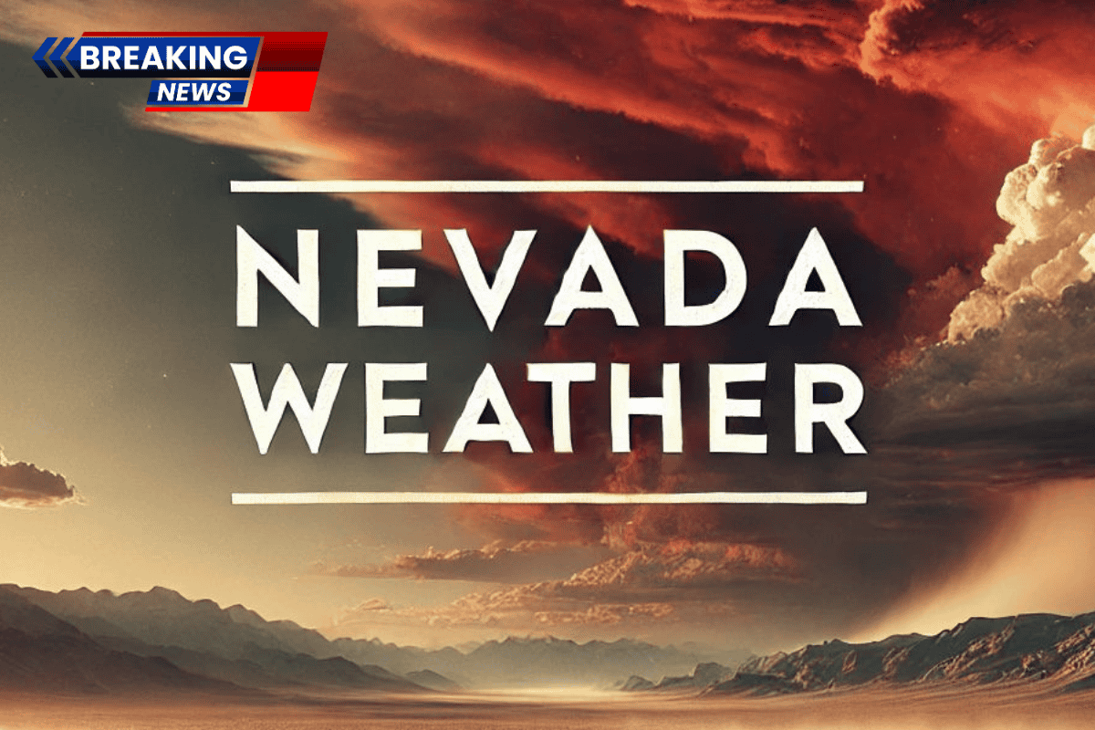
Nevada’s desert heat is ramping up quickly, with Las Vegas heading toward dangerous early-season temperatures. The National Weather Service in Las Vegas has issued an Extreme Heat Warning, which remains in effect through Sunday evening.
Today’s Weather and Heat Danger
Highs are expected to reach 97°F today, with low humidity around 16% and light winds providing little relief. The dry air will allow the heat to intensify rapidly across the Las Vegas Valley. Pavement and concrete surfaces, especially on the Strip, in Summerlin, and Henderson, will heat up quickly by early afternoon.

The peak heat will be felt from noon to 5 p.m., making it critical to shift outdoor plans to earlier in the day. Hydration is essential, especially for tourists and Spring Break travelers who may not be acclimated to desert conditions.
Travel and Safety Tips
Drivers on major highways like I-15 and US-95 should be prepared for glare and heat fatigue during peak travel hours. Vehicles can overheat quickly in stop-and-go traffic, so it’s important to keep water in your car and avoid leaving children or pets inside the vehicle.
Sunday and Beyond: Persistent Heat
On Sunday, temperatures will be slightly lower, reaching 94°F, but the heat will still be intense, with sunny skies and dry conditions. Monday and Tuesday, March 24, will continue the streak of mid-90s temperatures, with highs staying around 95°F.
Five-Day Outlook for Las Vegas, Nevada:
- Sunday: High of 94°F, mostly sunny
- Sunday Night: Low of 66°F, mostly clear
- Monday: High of 95°F, sunny
- Tuesday: High of 95°F, sunny
- Wednesday: High of 97°F, sunny