Charleston, West Virginia, is warming up quickly this morning under bright sunshine, but storm clouds are already gathering, signaling a shift in conditions.
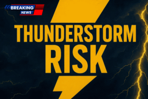
According to the National Weather Service in Charleston, showers and thunderstorms will develop later today, with the most intense activity expected by late afternoon and continuing into the evening.

Rain chances are forecasted to rise to 90%, with heavy downpours and lightning expected across central West Virginia.
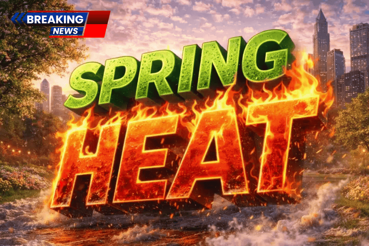
Hot Afternoon, Then a Stormy Evening
Temperatures are set to soar to nearly 86°F today, offering a brief taste of early summer before the stormy weather rolls in. As rain begins to move in, roads such as I-64, I-77, and Route 60 could quickly become slick, particularly during the evening commute. Visibility may drop below a mile in heavier bursts of rain, making travel hazardous.
Some storms may bring gusty winds and localized ponding on roadways. Drivers are urged to slow down, maintain extra stopping distance, and keep devices charged in case of isolated power outages.
Cooler Air Moves in Quickly

Behind the storm system, cooler air will move in rapidly. Monday will be significantly cooler, with highs only reaching around 54°F, accompanied by gusty northwest winds. By Monday night, temperatures are expected to dip to around 32°F, raising concerns about patchy frost in sheltered areas.
Mild Tuesday, Rain Returns Midweek
Tuesday will bring sunshine and calmer conditions, with highs near 61°F. The weather will stay mild through Wednesday, with temperatures reaching the upper 60s. However, rain chances will return late Wednesday night and into Thursday, bringing another round of wet weather.
Five-Day Forecast for Charleston, West Virginia
- Monday: High 54°F – Gradual clearing, cooler
- Tuesday: High 61°F – Mostly sunny
- Wednesday: High 67°F – Partly sunny
- Thursday: High 75°F – Chance of rain
- Friday: High 56°F – Chance of rain